
Related Images


Download:
| Tiny | 132x128 | View | Download |
| Small | 264x256 | View | Download |
| Medium | 528x512 | View | Download |
| Large | 1057x1024 | View | Download |
| Original | 2024x1960 | View | Download |
This image was acquired from
wikimedia. It was marked as Public Domain or CC0 and is free to use. To verify, go to the source and check the information there.
Looking for more info about this image?
Try a Google Reverse Image Search for it.
Try a Google Reverse Image Search for it.
Keywords from Image Description:
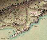
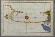
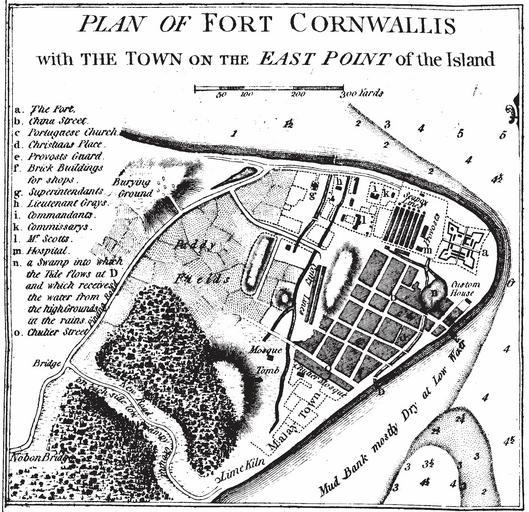
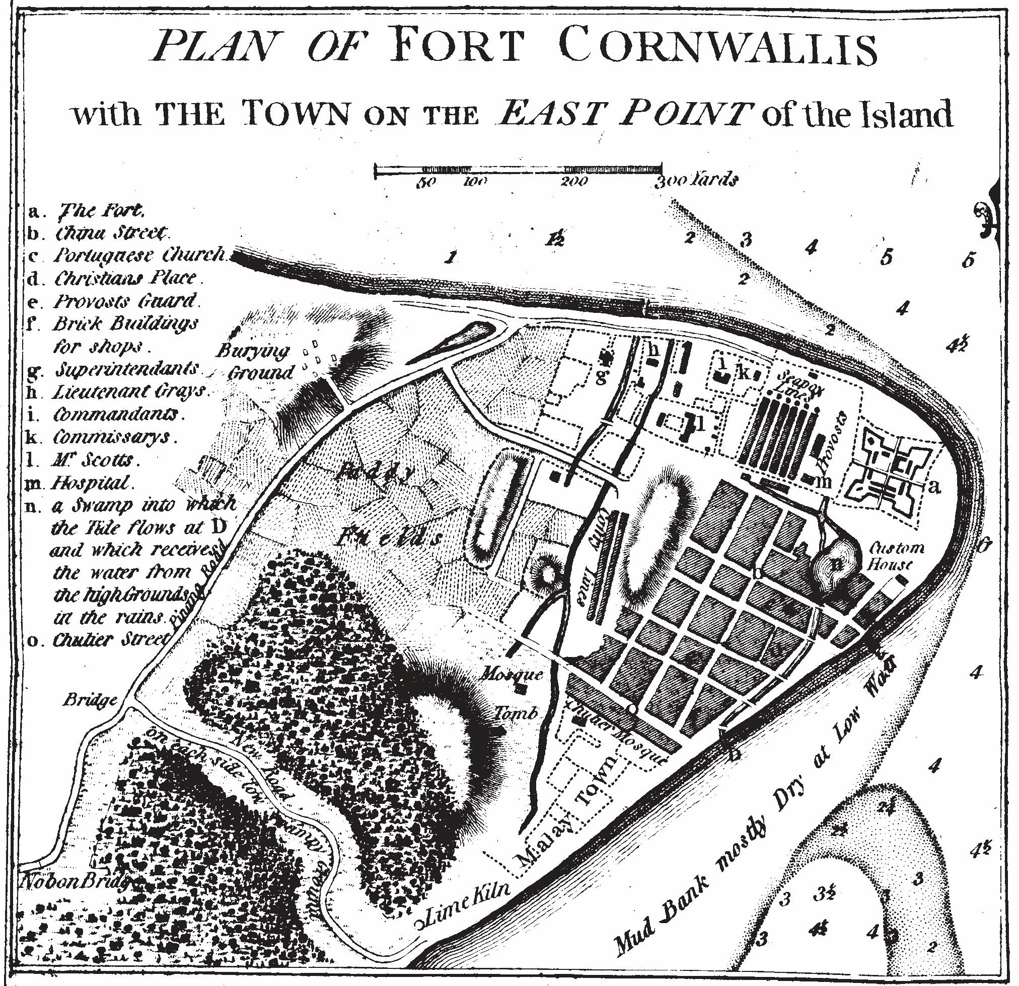
The Map of Early Penang Showing the Malay Town on the South of the Town Center by Popham . of Prince of Wales Island in the Straits of Malacca with Its Advantages as Marine Establishment London Sir Home Riggs Popham Dominio Pblico por que el auto muro hace ms de aos PDold Maps of Penang maps