
Related Images
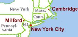


Download:
| Tiny | 120x128 | View | Download |
| Small | 240x256 | View | Download |
| Medium | 480x512 | View | Download |
| Original | 595x634 | View | Download |
This image was acquired from
wikimedia. It was marked as Public Domain or CC0 and is free to use. To verify, go to the source and check the information there.
Looking for more info about this image?
Try a Google Reverse Image Search for it.
Try a Google Reverse Image Search for it.
Keywords from Image Description:
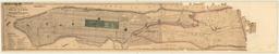
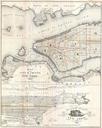
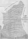
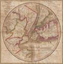
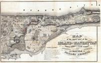
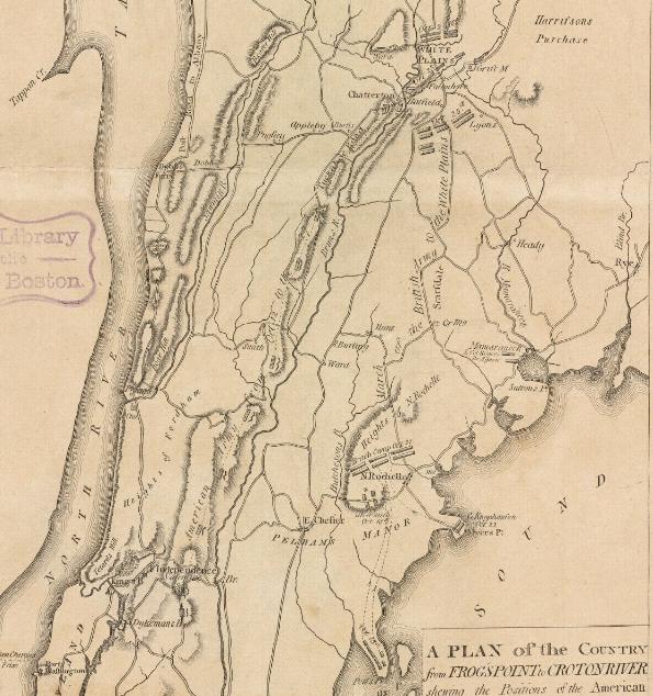
Towhiteplains. en Map of New York City and Westchester County New York showing movements of the British Army from Pell's Point to White Plains Boston Public Library digital map collection bpl org Samuel Lewis PDold Battle of White Plains Old maps of the American Revolution Maps of New York History of New York Samuel Lewis