
Related Images


Download:
| Tiny | 83x128 | View | Download |
| Small | 166x256 | View | Download |
| Medium | 332x512 | View | Download |
| Large | 664x1024 | View | Download |
| Original | 997x1536 | View | Download |
This image was acquired from
wikimedia. It was marked as Public Domain or CC0 and is free to use. To verify, go to the source and check the information there.
Looking for more info about this image?
Try a Google Reverse Image Search for it.
Try a Google Reverse Image Search for it.
Keywords from Image Description:
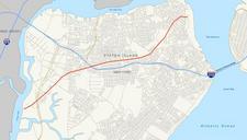
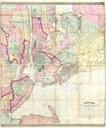
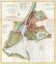
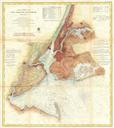
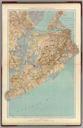
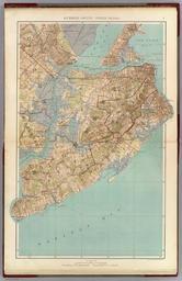
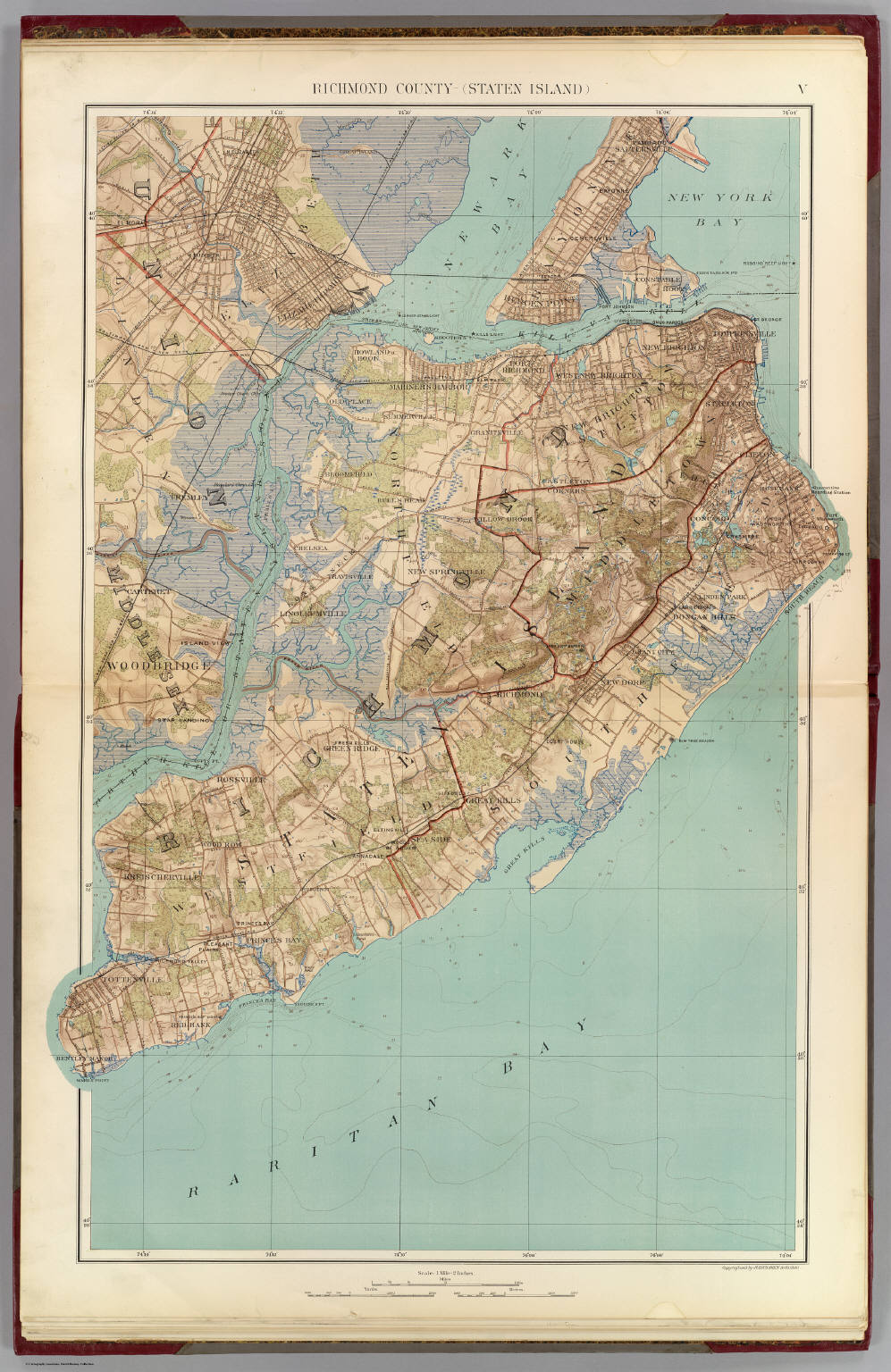
Staten Island map . en map of Richmond County Staten Island showing topography streets and political divisions digitalgallery emory edu Joseph Rudolf Bien PDold PDold Maps of Staten Island New York City