
Related Images


Download:
| Tiny | 40x128 | View | Download |
| Small | 81x256 | View | Download |
| Original png | 157x495 | View | Download |
| Original as jpg | 157x495 | View | Download |
This image was acquired from
wikimedia. It was marked as Public Domain or CC0 and is free to use. To verify, go to the source and check the information there.
Looking for more info about this image?
Try a Google Reverse Image Search for it.
Try a Google Reverse Image Search for it.
Keywords from Image Description:
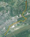
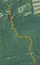
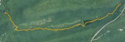
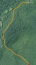
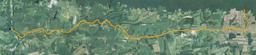
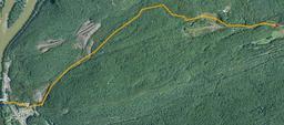
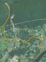
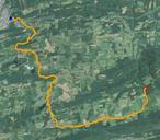
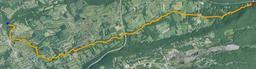
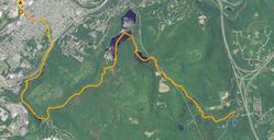
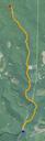
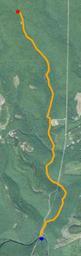
Twomile Run satellite map. en map of the stream Twomile Run in Clinton County Pennsylvania at scale The red dot is the source and the blue dot is the mouth Data available from Geological Survey National Geospatial Program nationalmap gov United States Geological Survey Satellite maps PDUSGov