
Related Images

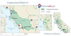
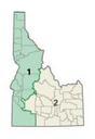
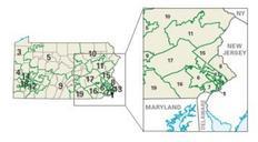
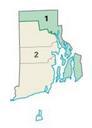


Download:
| Tiny | 209x128 | View | Download |
| Small | 419x256 | View | Download |
| Original gif | 638x389 | View | Download |
| Original as jpg | 638x389 | View | Download |
This image was acquired from
wikimedia. It was marked as Public Domain or CC0 and is free to use. To verify, go to the source and check the information there.
Looking for more info about this image?
Try a Google Reverse Image Search for it.
Try a Google Reverse Image Search for it.
Keywords from Image Description:
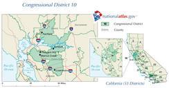
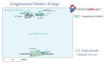
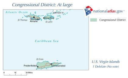
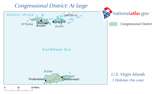
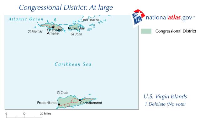
VIAtLArge . Map for Virgin Islands At Large congressional district Source gov PDUSGovAtlas PDUSGov National Atlas maps of United States Virgin Islands Congressional district maps of United States Virgin Islands Congressional district maps of the th Congress United States Virgin Islands Maps of the United States Virgin Islands