Related Images


Download:
| Tiny | 170x128 | View | Download |
| Small | 340x256 | View | Download |
| Medium | 681x512 | View | Download |
| Large | 1362x1024 | View | Download |
| Original tiff | 10328x7760 | View | Download |
| Original as jpg | 10328x7760 | View | Download |
This image was acquired from
wikimedia. It was marked as Public Domain or CC0 and is free to use. To verify, go to the source and check the information there.
Looking for more info about this image?
Try a Google Reverse Image Search for it.
Try a Google Reverse Image Search for it.
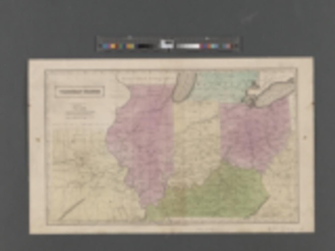
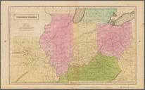
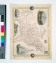
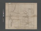
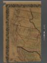
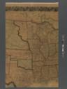
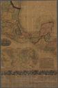
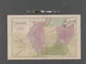
Keywords from Image Description:
Western states NYPL b. en Probably from school atlas Covers Kentucky Ohio Indiana Illinois Missouri and parts of adjoining states Longitude west from Washington Mapping the Nation NEH grant nypl org Scan by NYPL Western states aadaefdabbd Maps of North America fddcbcbdabbd repo nypl org Check categories July PDoldauto DEFAULTSORT