Related Images


Download:
| Tiny | 152x128 | View | Download |
| Small | 305x256 | View | Download |
| Medium | 610x512 | View | Download |
| Large | 1220x1024 | View | Download |
| Original | 6472x5428 | View | Download |
This image was acquired from
wikimedia. It was marked as Public Domain or CC0 and is free to use. To verify, go to the source and check the information there.
Looking for more info about this image?
Try a Google Reverse Image Search for it.
Try a Google Reverse Image Search for it.
Keywords from Image Description:
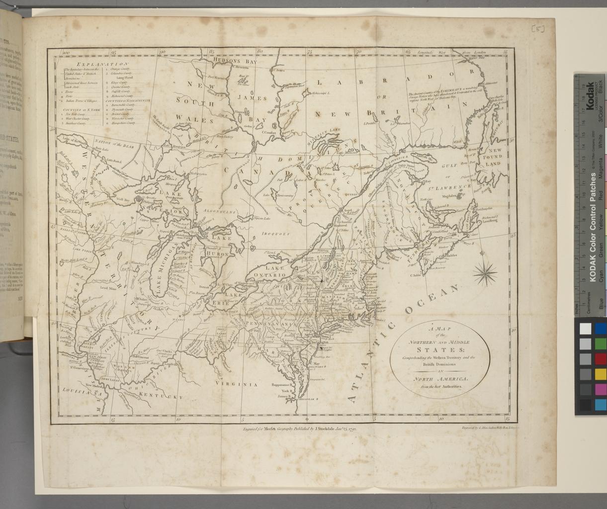
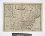
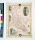
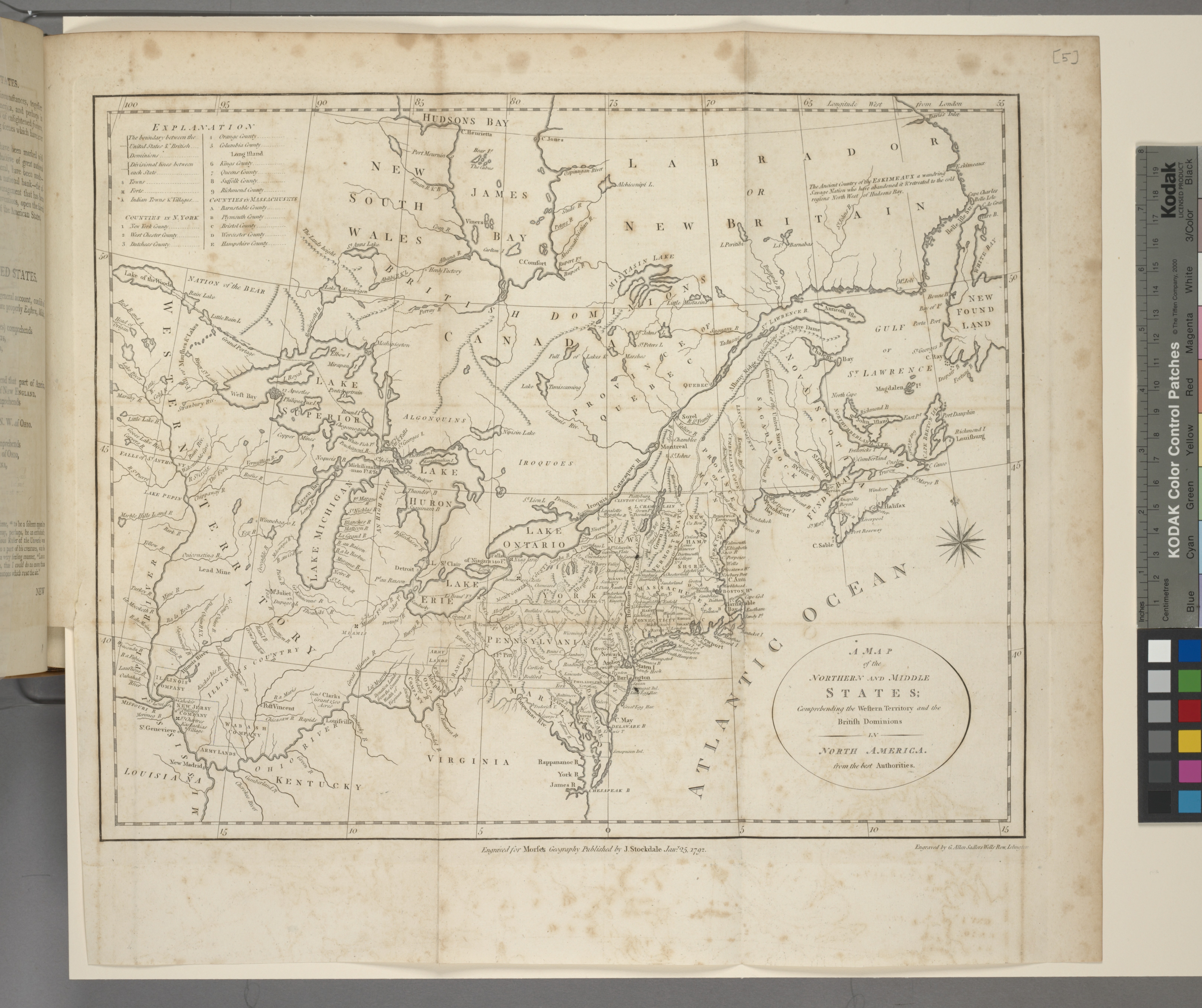
A map of the northern and middle states comprehending the western territory and the British dominions in North America. From the best authorities NYPL b. en Citation Sabin Copy Copy in Map Div Lawrence Slaughter Collection Lawrence Slaughter Collection National Endowment for the Humanities Grant for Access to Early Maps of the