
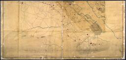
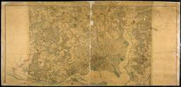
Related Images


This image was acquired from
wikimedia. It was marked as Public Domain or CC0 and is free to use. To verify, go to the source and check the information there.
Looking for more info about this image?
Try a Google Reverse Image Search for it.
Try a Google Reverse Image Search for it.
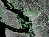
Keywords from Image Description:
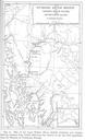
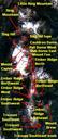
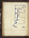
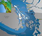
Whatcomtrailbwskagit. Map of northwestern Washington and southwestern British Columbia showing the Whatcom Trail solid white line and the Skagit Trail dotted white line Only settlements extant in are shown created map using publicuse basemap Can MoE weather originally but altered Skookum at en other versions Skookum Original upload