
Related Images


Download:
| Tiny | 153x128 | View | Download |
| Small | 306x256 | View | Download |
| Medium | 613x512 | View | Download |
| Large | 1227x1024 | View | Download |
| Original | 7149x5965 | View | Download |
This image was acquired from
wikimedia. It was marked as Public Domain or CC0 and is free to use. To verify, go to the source and check the information there.
Looking for more info about this image?
Try a Google Reverse Image Search for it.
Try a Google Reverse Image Search for it.
Keywords from Image Description:
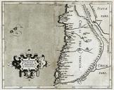
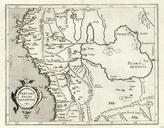
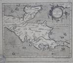
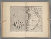
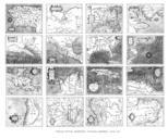
Wytfliet. en An atlas of the Americas by Cornelius Wytfliet printed in Belgium The maps have no specific projection The origin of the cartographic data about Alaska and parts of Canada is mystery Cornelius Wytfliet PDold Old maps of the United States Old maps of Canada Old maps of Central America Maps by Cornelius van Wytfliet