
Related Images
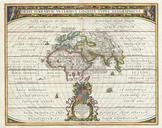
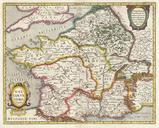
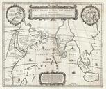


Download:
| Tiny | 175x128 | View | Download |
| Small | 350x256 | View | Download |
| Medium | 701x512 | View | Download |
| Large | 1402x1024 | View | Download |
| Original | 4000x2920 | View | Download |
This image was acquired from
wikimedia. It was marked as Public Domain or CC0 and is free to use. To verify, go to the source and check the information there.
Looking for more info about this image?
Try a Google Reverse Image Search for it.
Try a Google Reverse Image Search for it.
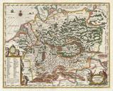
Keywords from Image Description:
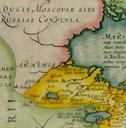
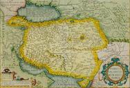
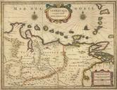
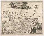
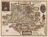
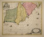
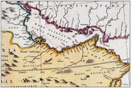
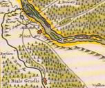
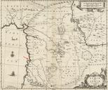
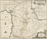
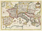
Jansson Map of the Empire of Charlemagne Geographicus CaroliMagnijansson. This is remarkable example of Jan Jansson's mapping of the Empire of Charlemagne Covers from Spain to the Black Sea and from Denmark and Ireland to North Africa Filled with copious notations in Latin Decorative sailing vessels ply the Mediterranean decorative


