
Related Images


Download:
| Tiny | 158x128 | View | Download |
| Small | 317x256 | View | Download |
| Medium | 634x512 | View | Download |
| Large | 1268x1024 | View | Download |
| Original | 3500x2825 | View | Download |
This image was acquired from
wikimedia. It was marked as Public Domain or CC0 and is free to use. To verify, go to the source and check the information there.
Looking for more info about this image?
Try a Google Reverse Image Search for it.
Try a Google Reverse Image Search for it.
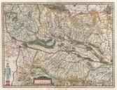
Keywords from Image Description:
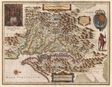
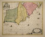
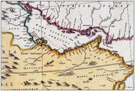
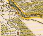
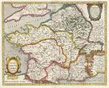
Jansson Map of France or Gaul in Antiquity Geographicus Galliaejansson. This is remarkable example of Jan Jansson's mapping of France or Gaul in antiquity Cartographically this map exhibits heavy influence from very similar map of the same name published by Ortelius in his Parergon Based on Greek and Roman sources including