Related Images


Download:
| Tiny | 166x128 | View | Download |
| Small | 333x256 | View | Download |
| Medium | 667x512 | View | Download |
| Large | 1334x1024 | View | Download |
| Original | 4000x3070 | View | Download |
This image was acquired from
wikimedia. It was marked as Public Domain or CC0 and is free to use. To verify, go to the source and check the information there.
Looking for more info about this image?
Try a Google Reverse Image Search for it.
Try a Google Reverse Image Search for it.
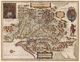
Keywords from Image Description:
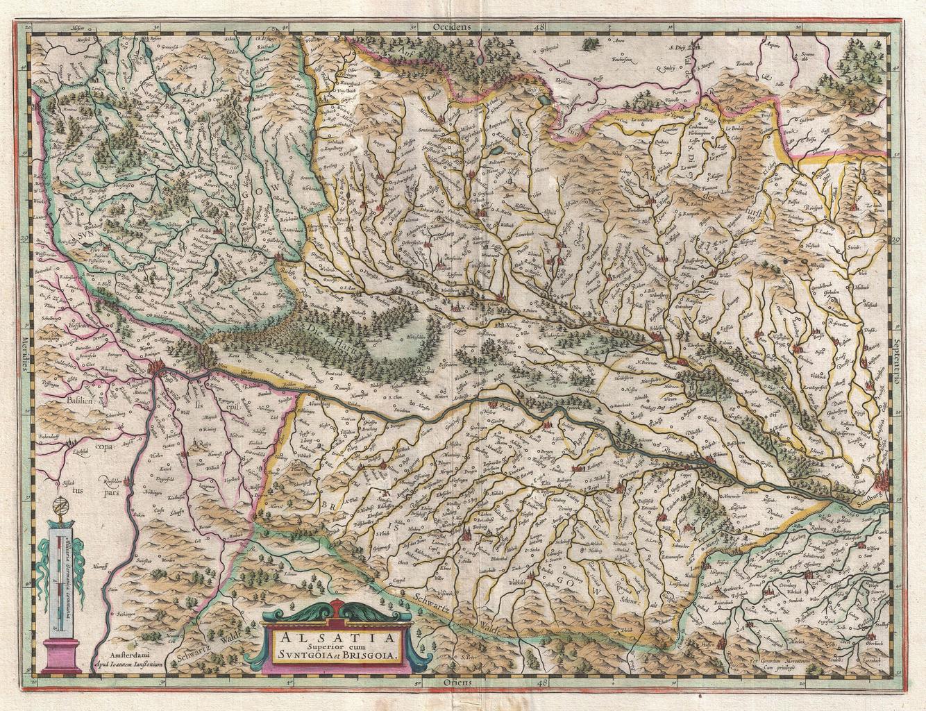
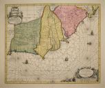
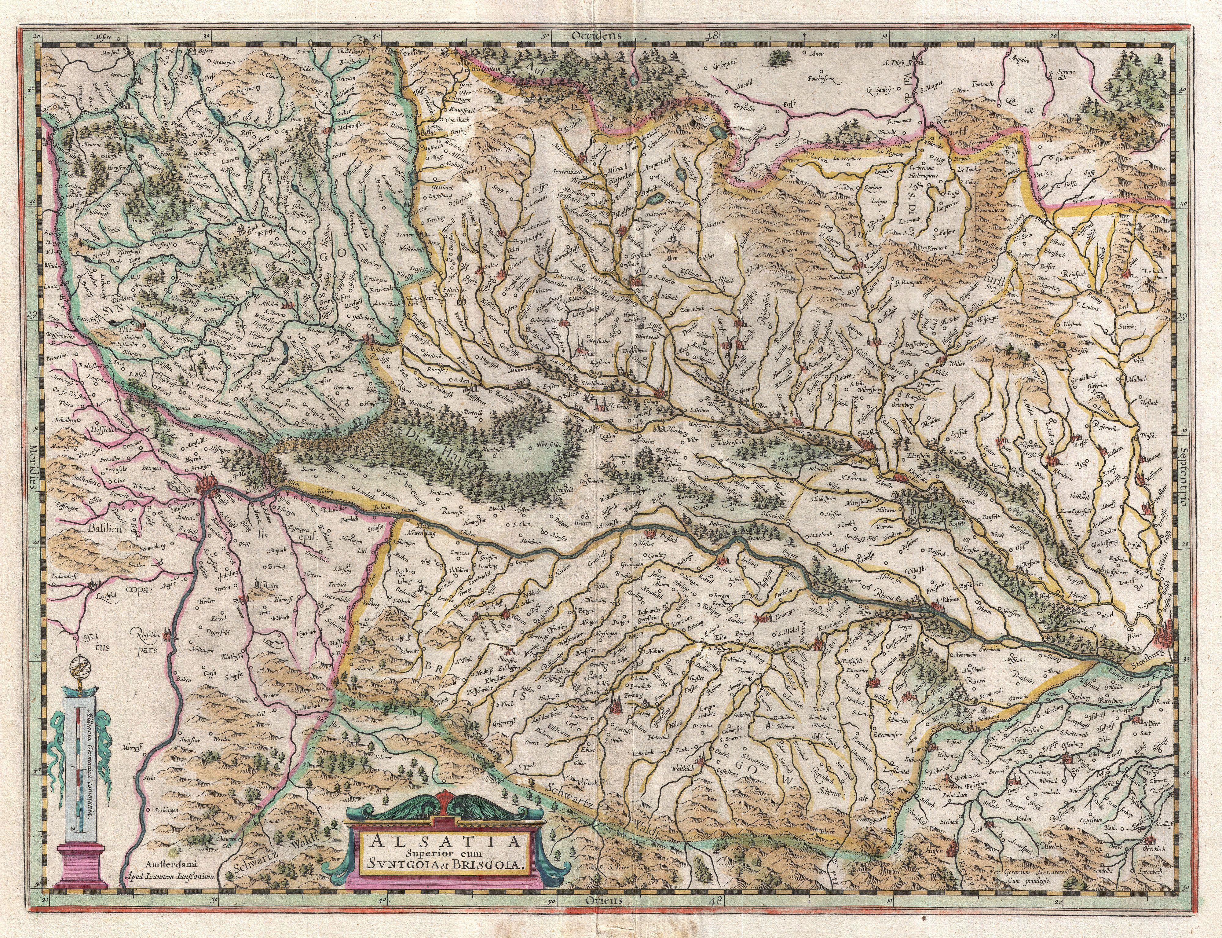
Jansson Map of Alsace Basel and Strasbourg Geographicus AlsatiaSuperiorjansson. beautiful example of Jansson's map of upper Alsace France Oriented to the west this map covers the Rhine valley from Basel to Strasbourg Shows numerous towns villages forests and river tributaries Topography and major cities are shown in profile Alsace