
Related Images


Download:
| Tiny | 71x128 | View | Download |
| Small | 142x256 | View | Download |
| Medium | 284x512 | View | Download |
| Large | 569x1024 | View | Download |
| Original | 1667x3000 | View | Download |
This image was acquired from
wikimedia. It was marked as Public Domain or CC0 and is free to use. To verify, go to the source and check the information there.
Looking for more info about this image?
Try a Google Reverse Image Search for it.
Try a Google Reverse Image Search for it.
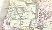
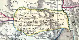
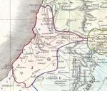
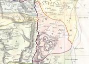
Keywords from Image Description:
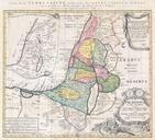
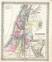
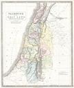
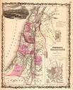
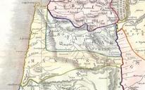
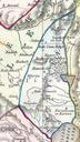
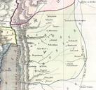
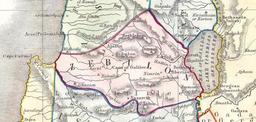
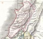
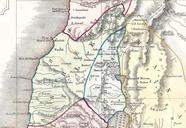
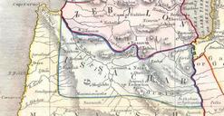
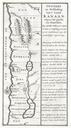
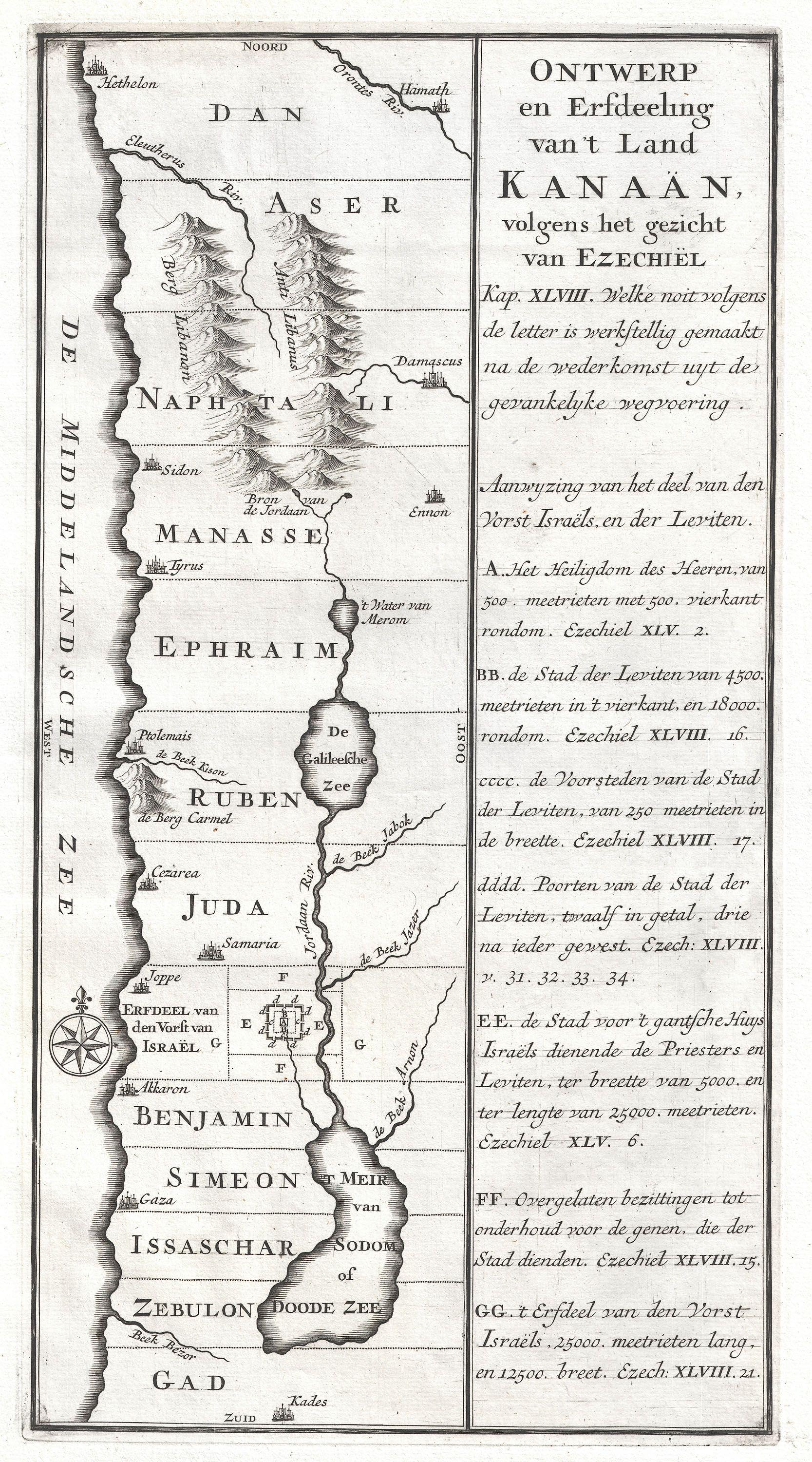
Schryver Map of Israel showing Tribes Geographicus Israelschryver. An extremely uncommon map of ancient Israel Most likely drawn by the Dutch engraver Schryver this map shows Israel from Hethelon in the north to Kades just south of the Dead Sea Divided into the areas controlled by the Twelve Tribes of Israel from the north these