Related Images

Download:
| Tiny | 143x128 | View | Download |
| Small | 287x256 | View | Download |
| Medium | 574x512 | View | Download |
| Large | 1149x1024 | View | Download |
| Original | 8000x7128 | View | Download |
This image was acquired from
wikimedia. It was marked as Public Domain or CC0 and is free to use. To verify, go to the source and check the information there.
Looking for more info about this image?
Try a Google Reverse Image Search for it.
Try a Google Reverse Image Search for it.
Keywords from Image Description:
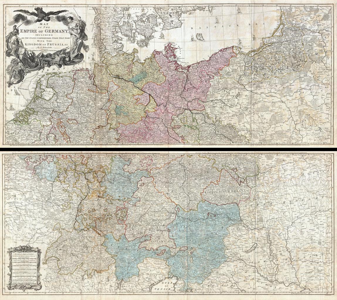
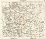
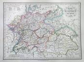
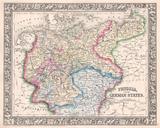
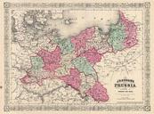
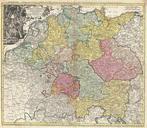
Delarochette Wall Map of the Empire of Germany Geographicus Germanydelarochette. LargeImage An absolutely stunning and monumental two panel wall map of Germany Bohemia Austria and Prussia by Louis Stanislas d'Arcy Delarochette Covers Germanic territories in full from the Baltic Sea to the Gulf of Venice Includes Germany Austria