
Related Images

Download:
| Tiny | 190x128 | View | Download |
| Small | 380x256 | View | Download |
| Medium | 761x512 | View | Download |
| Large | 1523x1024 | View | Download |
| Original | 2500x1680 | View | Download |
This image was acquired from
wikimedia. It was marked as Public Domain or CC0 and is free to use. To verify, go to the source and check the information there.
Looking for more info about this image?
Try a Google Reverse Image Search for it.
Try a Google Reverse Image Search for it.
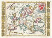
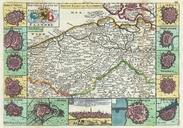
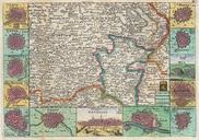
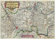
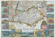
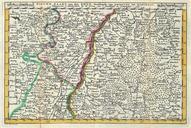
Keywords from Image Description:
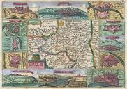
La Feuille Map of Alsace France Geographicus Rhynlafeuille. stunning map of Alcase France drawn by Ratelband in Includes both Basse Alsace and Haute Alsace Covers from Fribourg in the northwest eastward past Strasbourg and the Rhine River as far as Rordorff and Kilberg Dutch language title along the top border Engraved by Jan