
Related Images

Download:
| Tiny | 198x128 | View | Download |
| Small | 397x256 | View | Download |
| Medium | 795x512 | View | Download |
| Large | 1590x1024 | View | Download |
| Original | 3000x1932 | View | Download |
This image was acquired from
wikimedia. It was marked as Public Domain or CC0 and is free to use. To verify, go to the source and check the information there.
Looking for more info about this image?
Try a Google Reverse Image Search for it.
Try a Google Reverse Image Search for it.
Keywords from Image Description:
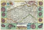
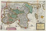
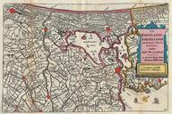
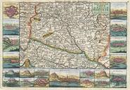
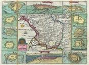
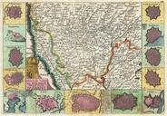
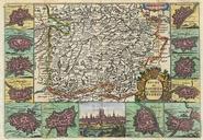
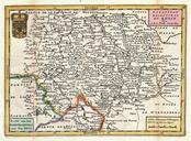
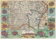
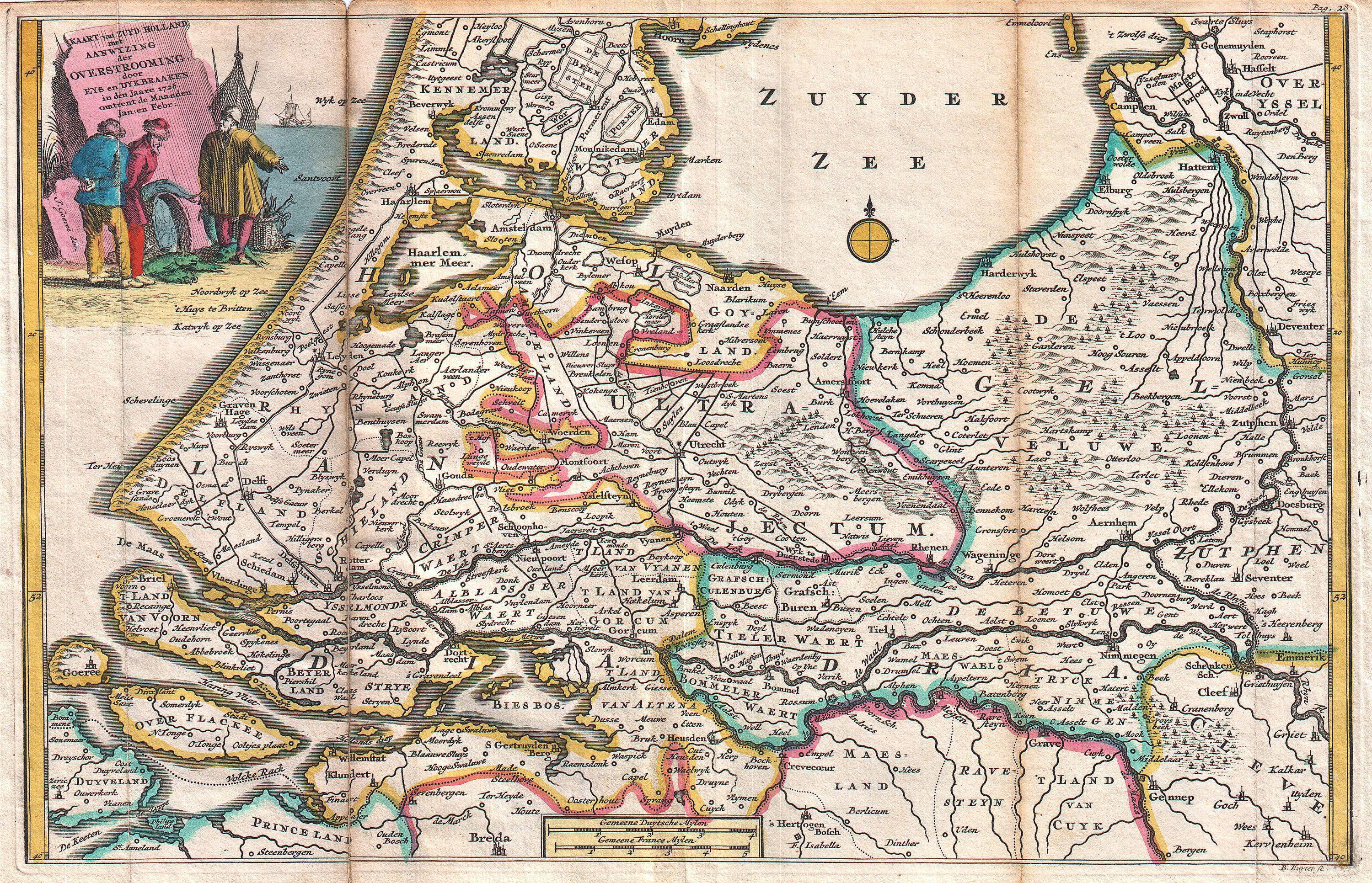
La Feuille Map of Holland Geographicus Hollandlafeuille. stunning map of Holland first drawn by Daniel de la Feuille in Depicts Holland south of Amsterdam focusing and the delta and course of the Rhine River title cartouche in the upper left quadrant drawn by Goeree features three fishermen discussing the day catch This is Paul