Related Images


Download:
| Tiny | 106x128 | View | Download |
| Small | 213x256 | View | Download |
| Medium | 427x512 | View | Download |
| Large | 855x1024 | View | Download |
| Original | 2095x2508 | View | Download |
This image was acquired from
wikimedia. It was marked as Public Domain or CC0 and is free to use. To verify, go to the source and check the information there.
Looking for more info about this image?
Try a Google Reverse Image Search for it.
Try a Google Reverse Image Search for it.
Keywords from Image Description:
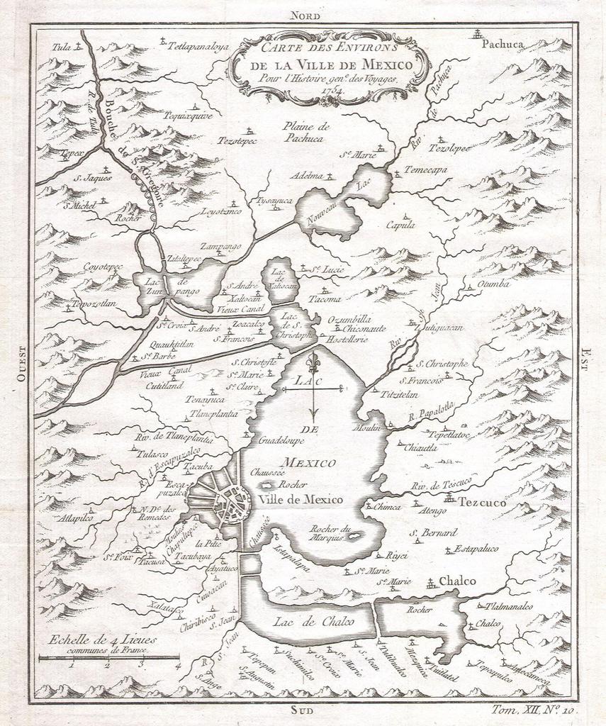
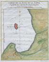
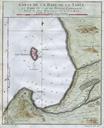
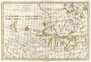
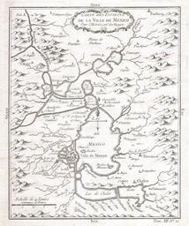
Bellin Map of Mexico City Environs Geographicus MexicoCitybellin. This beautiful little map of Mexico City was produced by the French Cartographer JacquesNicolas Bellin in Depicts the now nonextant Lake Texcoco upon which Mexico City was built Extends as far north as Pachuca and as far south as San Augustin and Amecameca Size