
Related Images


Download:
| Tiny | 91x128 | View | Download |
| Small | 182x256 | View | Download |
| Medium | 365x512 | View | Download |
| Large | 730x1024 | View | Download |
| Original | 1985x2784 | View | Download |
This image was acquired from
wikimedia. It was marked as Public Domain or CC0 and is free to use. To verify, go to the source and check the information there.
Looking for more info about this image?
Try a Google Reverse Image Search for it.
Try a Google Reverse Image Search for it.
Keywords from Image Description:
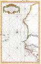
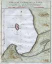
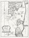
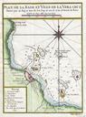
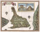
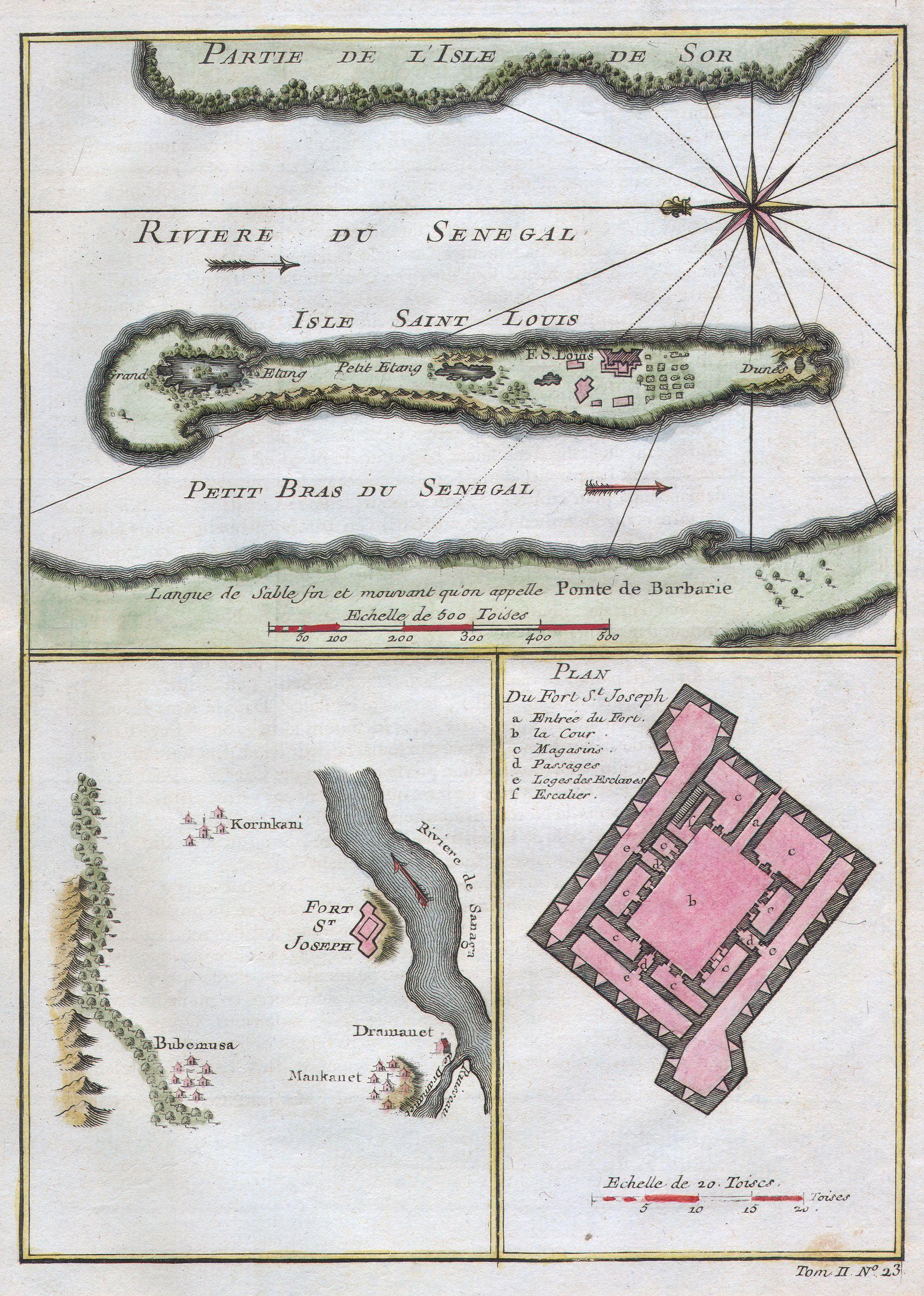
Bellin Map of the Senegal Geographicus Senegalbellin. This stunning nautical chart by French mapmaker Bellin the Elder depicts the Senegal River and the area surrounding Fort St Joseph Fort St Louis This region was part of the Senegambia the Company of the Indies Senegal Concession It was from this port that the French company