
Related Images
Download:
| Tiny | 91x128 | View | Download |
| Small | 182x256 | View | Download |
| Medium | 364x512 | View | Download |
| Large | 729x1024 | View | Download |
| Original | 861x1208 | View | Download |
This image was acquired from
wikimedia. It was marked as Public Domain or CC0 and is free to use. To verify, go to the source and check the information there.
Looking for more info about this image?
Try a Google Reverse Image Search for it.
Try a Google Reverse Image Search for it.
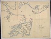
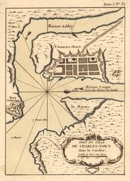
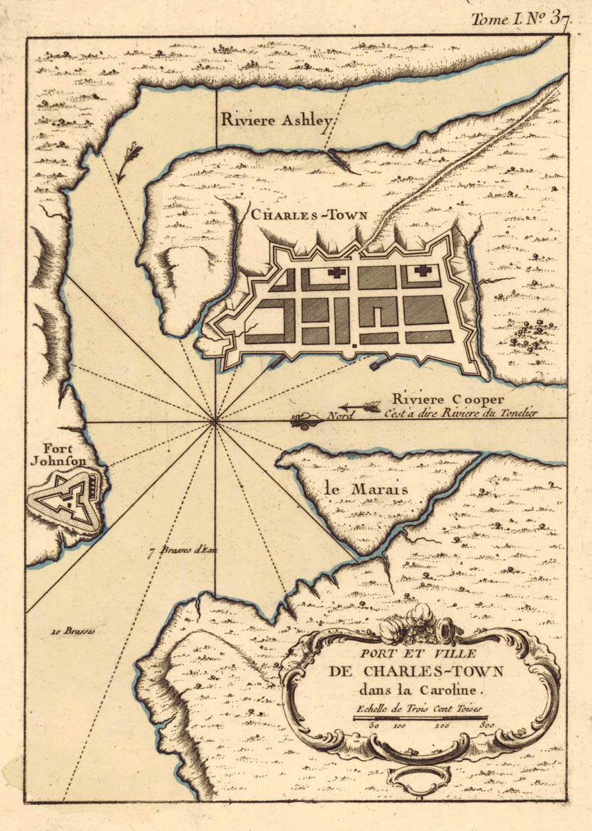
Keywords from Image Description:
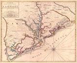
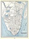
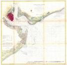
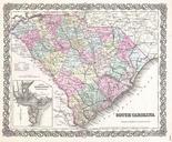
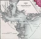
map of Charleston South Carolina.jpeg fr Port et ville de Charles Town dans la Caroline ua edu html Historical Maps of Alabama collection University of Alabama Department of Geography Creator JacquesNicolas Bellin PDold Old maps of Charleston South Carolina South Carolina in the maps Maps by JacquesNicolas Bellin