
Related Images


Download:
| Tiny | 132x128 | View | Download |
| Small | 265x256 | View | Download |
| Medium | 530x512 | View | Download |
| Large | 1061x1024 | View | Download |
| Original | 5000x4824 | View | Download |
This image was acquired from
wikimedia. It was marked as Public Domain or CC0 and is free to use. To verify, go to the source and check the information there.
Looking for more info about this image?
Try a Google Reverse Image Search for it.
Try a Google Reverse Image Search for it.
Keywords from Image Description:
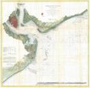
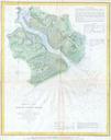
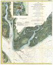
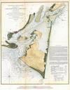
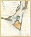
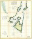
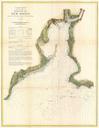
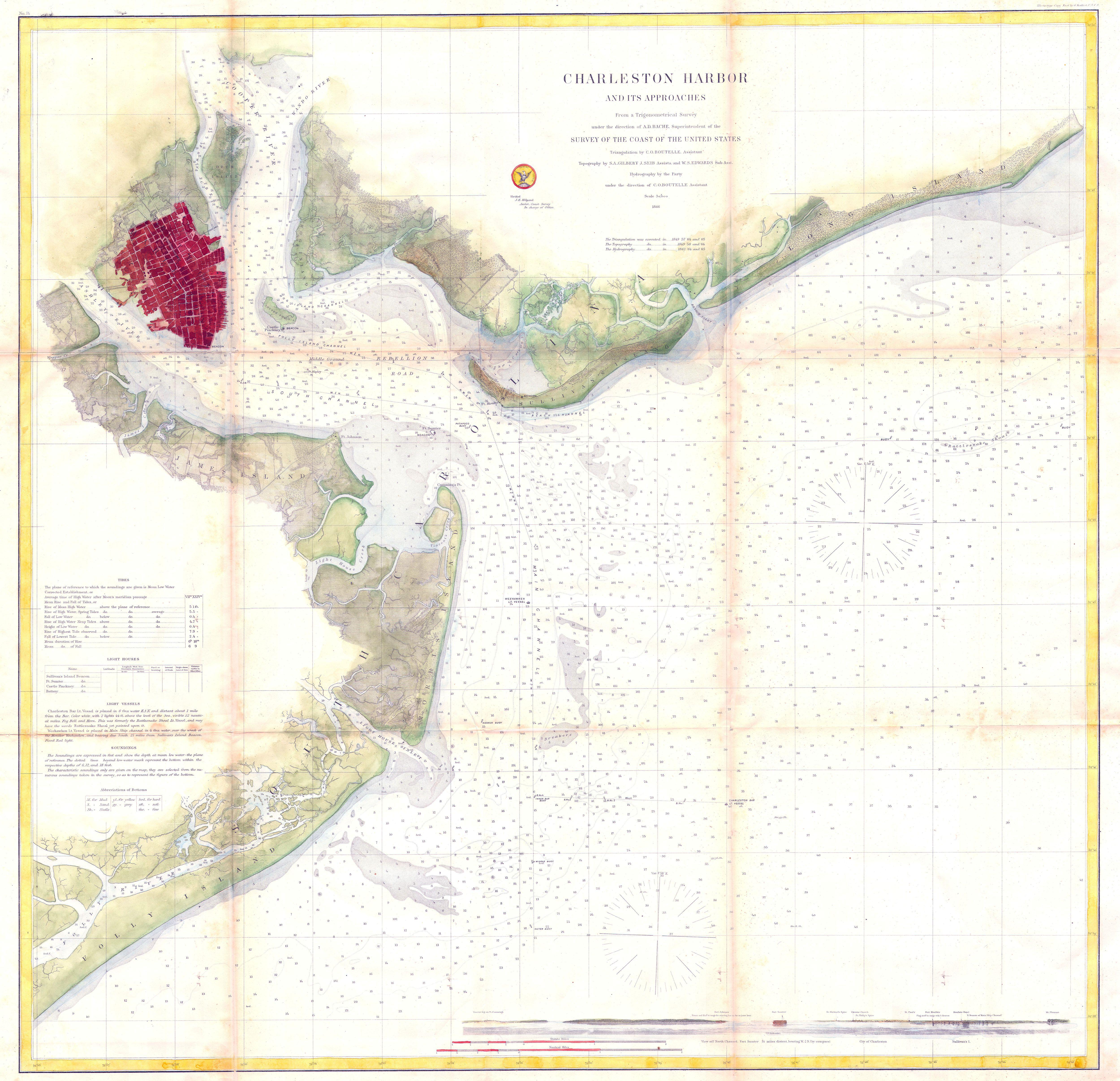
U.S.C.S. Map of Charleston Harbor South Carolina Geographicus CharlestonHarborUSCS. This is of the rarest and earliest obtainable large format depictions of Charleston Harbor and its approaches Depicts the city of Charleston in block layout with docks and some commercial buildings located Places Hog Island Drum Island Shutes Folly