
Related Images


Download:
| Tiny | 131x128 | View | Download |
| Small | 262x256 | View | Download |
| Medium | 524x512 | View | Download |
| Large | 1049x1024 | View | Download |
| Original | 6000x5857 | View | Download |
This image was acquired from
wikimedia. It was marked as Public Domain or CC0 and is free to use. To verify, go to the source and check the information there.
Looking for more info about this image?
Try a Google Reverse Image Search for it.
Try a Google Reverse Image Search for it.
Keywords from Image Description:
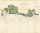
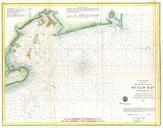
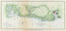
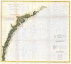
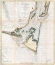
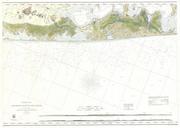
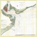
U.S. Coast Survey Nautical Chart of Charleston Harbor South Carolina Geographicus Charlestonuscs. This is highly desirable and uncommon Coast Survey chart or map of Charleston Harbor South Carolina Covers from Chareston south to Folly Island and east as far as Long island Offers stunning inland detail identifying roads farms