
Related Images


Download:
| Tiny | 273x128 | View | Download |
| Small | 546x256 | View | Download |
| Medium | 1092x512 | View | Download |
| Large | 2184x1024 | View | Download |
| Original | 4000x1875 | View | Download |
This image was acquired from
wikimedia. It was marked as Public Domain or CC0 and is free to use. To verify, go to the source and check the information there.
Looking for more info about this image?
Try a Google Reverse Image Search for it.
Try a Google Reverse Image Search for it.
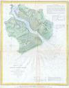
Keywords from Image Description:
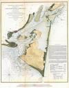
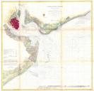
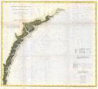
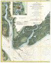
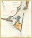
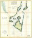
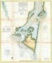
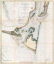
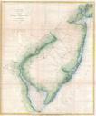
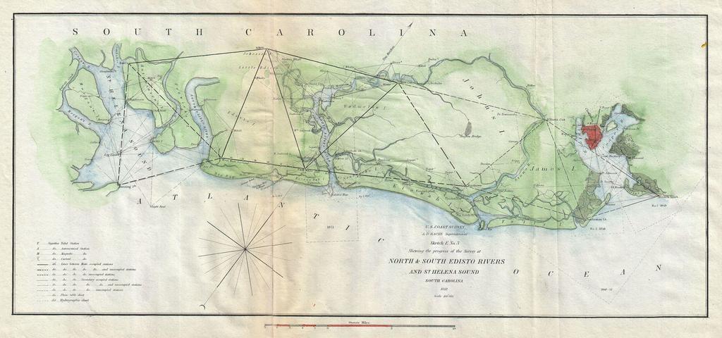
U.S. Coast Survey Map of the North and South Edisto Rivers South Carolina Charleston Geographicus EdistoRiveruscs. This is an attractive Coast Survey triangulation chart of the Coast of South Carolina between St Helena Sound and Charleston Focuses on the inlets and waterways on John Island James Island Wadmelaw Island and Edisto