Related Images

Download:
| Tiny | 175x128 | View | Download |
| Small | 350x256 | View | Download |
| Medium | 700x512 | View | Download |
| Large | 1401x1024 | View | Download |
| Original | 3500x2558 | View | Download |
This image was acquired from
wikimedia. It was marked as Public Domain or CC0 and is free to use. To verify, go to the source and check the information there.
Looking for more info about this image?
Try a Google Reverse Image Search for it.
Try a Google Reverse Image Search for it.
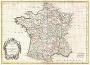
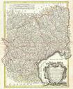
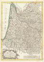
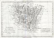
Keywords from Image Description:
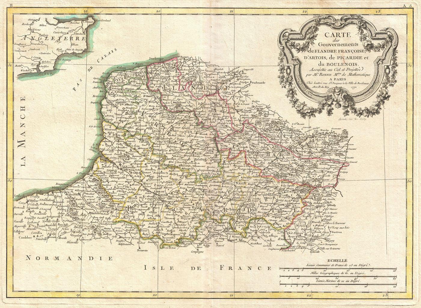
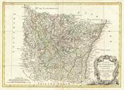
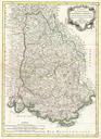
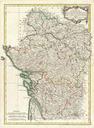
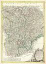
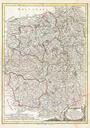
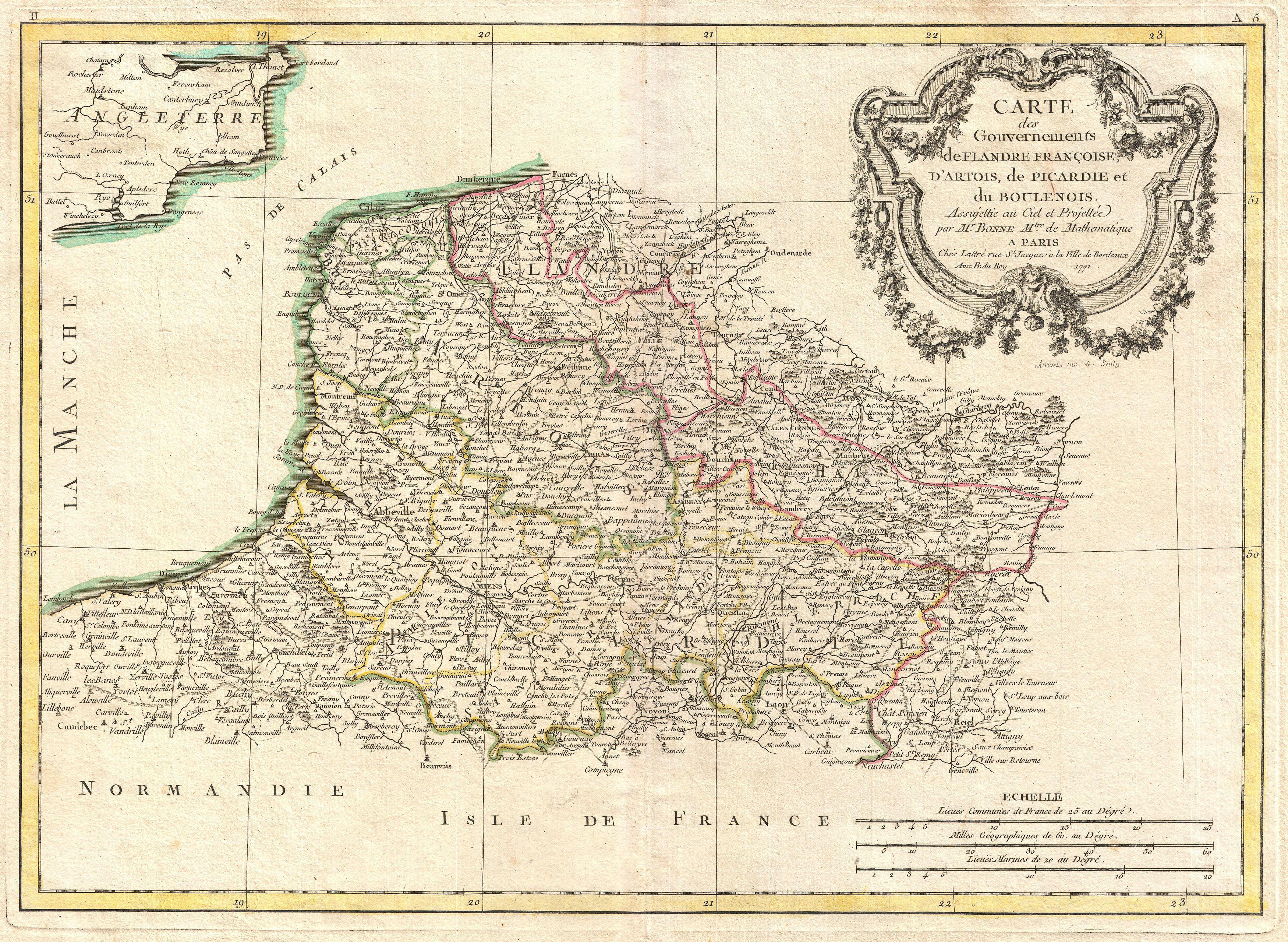
Bonne Map of Picardy Artois and French Flanders France Geographicus Picardiebonne. beautiful example of Rigobert Bonne's decorative map of the French regions of Picardy Artois and French Flanders Covers the region in full from the English Chanel to Normandy large decorative title cartouche appears in the upper right quadrant Drawn