Related Images


Download:
| Tiny | 189x128 | View | Download |
| Small | 379x256 | View | Download |
| Medium | 758x512 | View | Download |
| Large | 1516x1024 | View | Download |
| Original | 4000x2701 | View | Download |
This image was acquired from
wikimedia. It was marked as Public Domain or CC0 and is free to use. To verify, go to the source and check the information there.
Looking for more info about this image?
Try a Google Reverse Image Search for it.
Try a Google Reverse Image Search for it.
Keywords from Image Description:
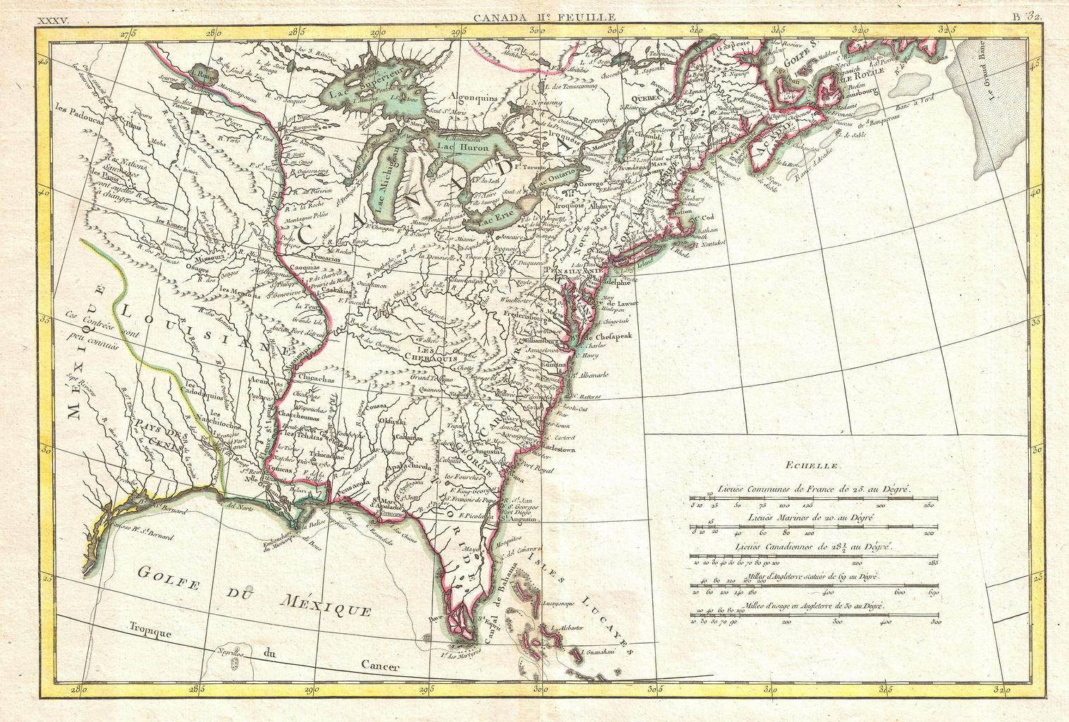
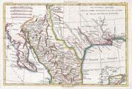
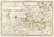
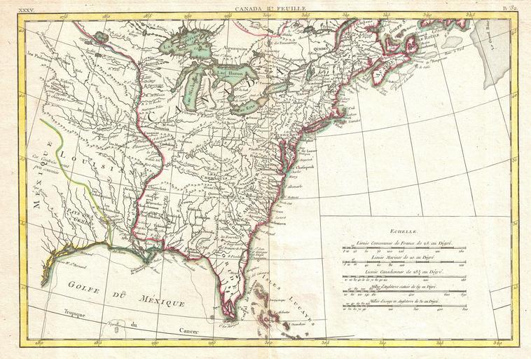
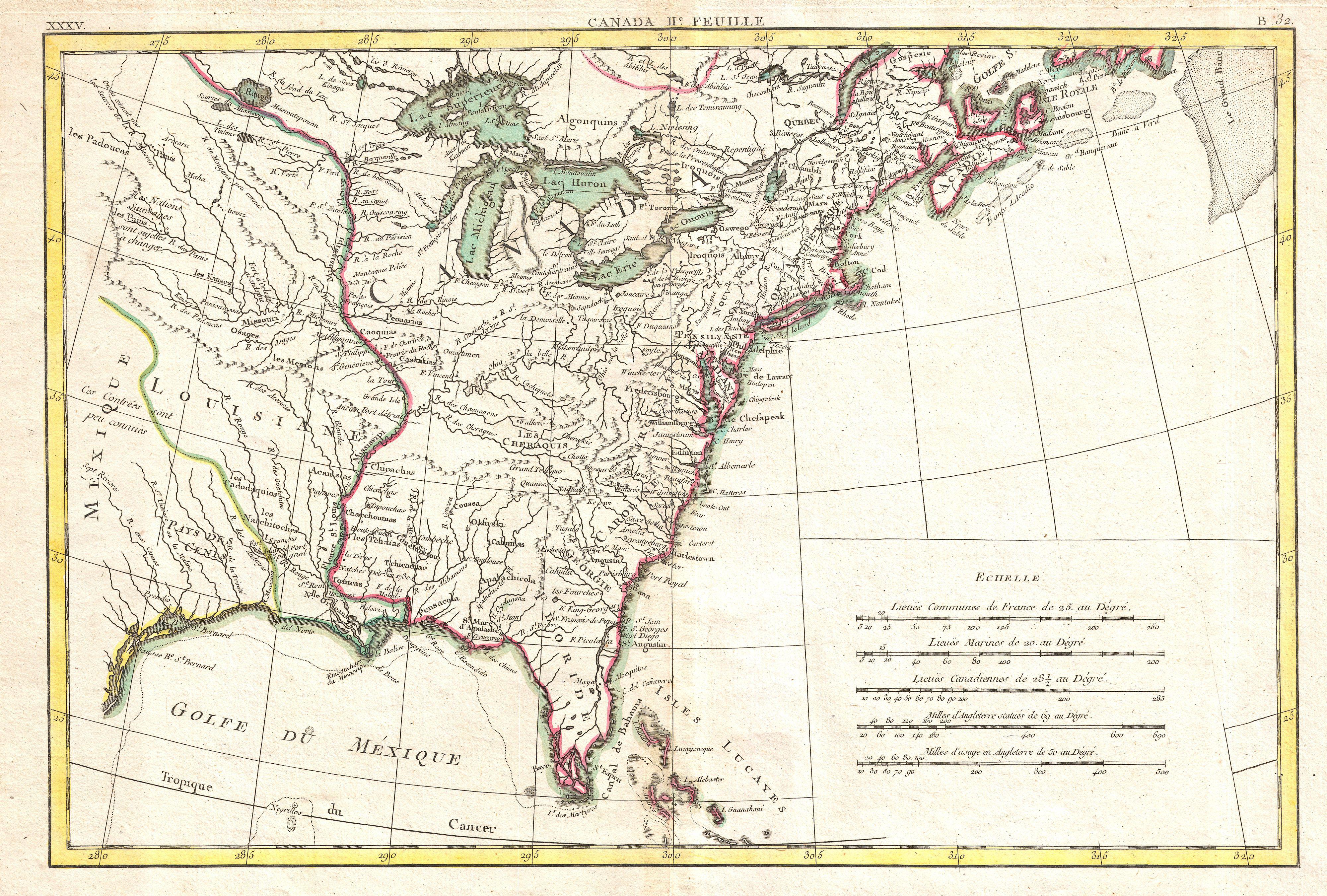
Bonne Map of Louisiana and the British Colonies in North America Geographicus NorthAmericaEastbonne. Printed in on the cusp of the American Revolutionary War this is Bonne's important map of Louisiana and the British claims in North America Covers from the Grand Banks south to Florida and westward as far as Mexico and Texas Shows