
Related Images


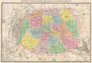
Download:
| Tiny | 92x128 | View | Download |
| Small | 184x256 | View | Download |
| Medium | 369x512 | View | Download |
| Large | 738x1024 | View | Download |
| Original | 2525x3500 | View | Download |
This image was acquired from
wikimedia. It was marked as Public Domain or CC0 and is free to use. To verify, go to the source and check the information there.
Looking for more info about this image?
Try a Google Reverse Image Search for it.
Try a Google Reverse Image Search for it.
Keywords from Image Description:
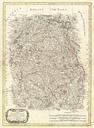
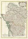
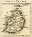
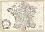
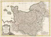
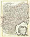
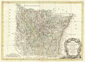
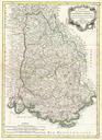
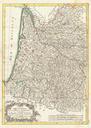
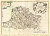
Bonne Map of Isle de France vicinity of Paris France Geographicus IlldeFrancebonne. beautiful example of Rigobert Bonne's decorative map of the French regions of Isle de France and Orleans Covers the region in full from Picardie to Berriand from Normandy to Champagne This region centered around Paris is France's most populous