
Related Images

Download:
| Tiny | 183x128 | View | Download |
| Small | 367x256 | View | Download |
| Medium | 734x512 | View | Download |
| Large | 1468x1024 | View | Download |
| Original | 3500x2441 | View | Download |
This image was acquired from
wikimedia. It was marked as Public Domain or CC0 and is free to use. To verify, go to the source and check the information there.
Looking for more info about this image?
Try a Google Reverse Image Search for it.
Try a Google Reverse Image Search for it.
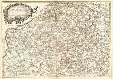
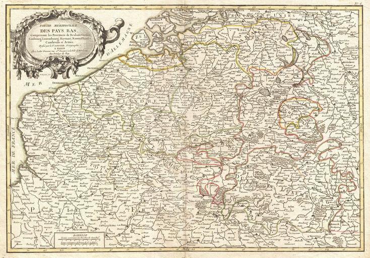
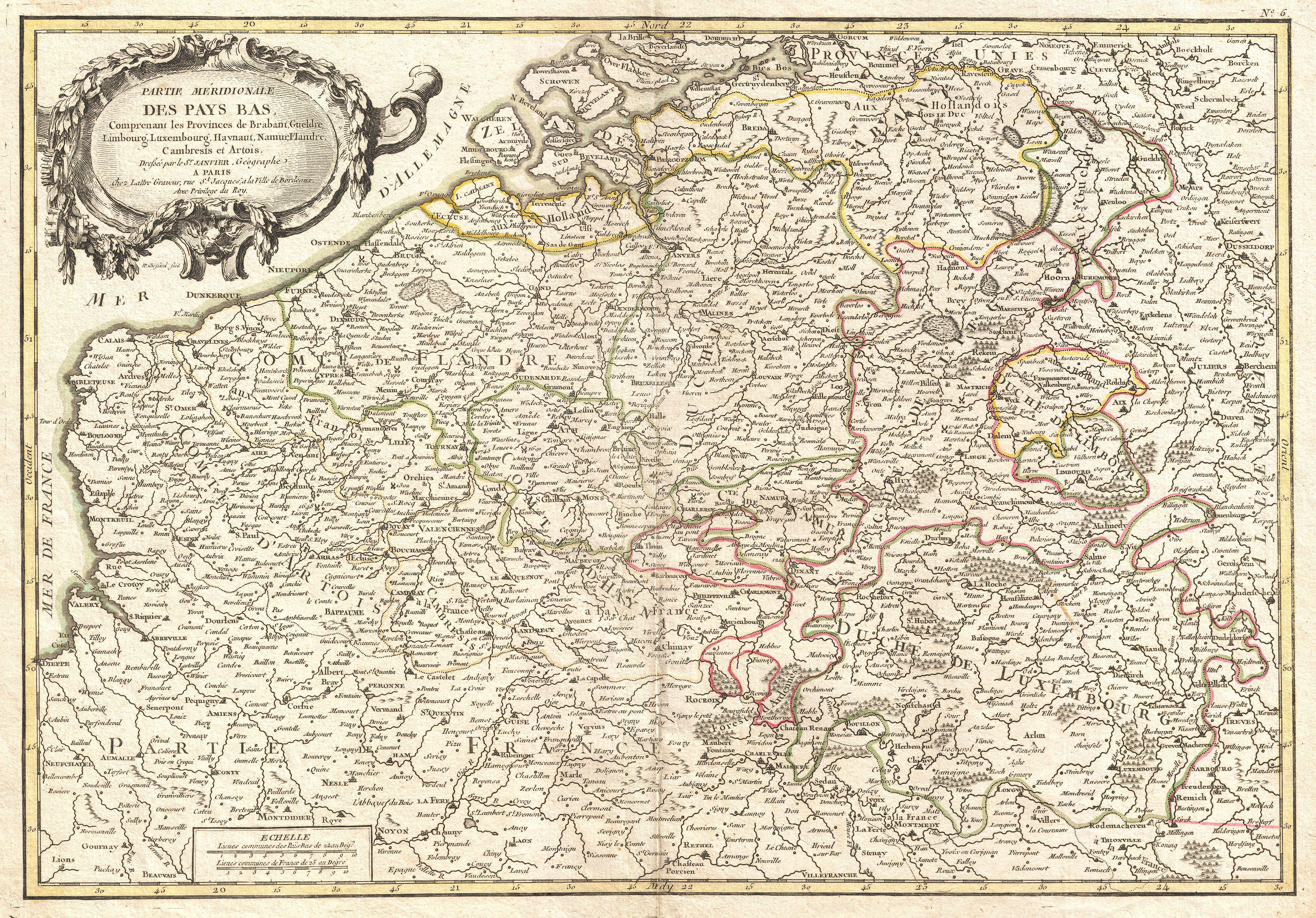
Keywords from Image Description:
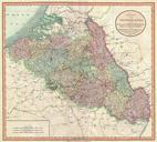
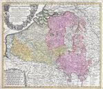
Janvier Map of Belgium and Luxembourg Geographicus BelgiumLuxembourgjanvier. beautiful example of Jean Janvier's decorative map of the southern portions of the Pays Bas Covers modern day Belgium and Luxembourg with adjacent parts of France Holland and Germany Divided into counties and duchies with color coding according to region