Related Images

This image was acquired from
wikimedia. It was marked as Public Domain or CC0 and is free to use. To verify, go to the source and check the information there.
Looking for more info about this image?
Try a Google Reverse Image Search for it.
Try a Google Reverse Image Search for it.
Keywords from Image Description:
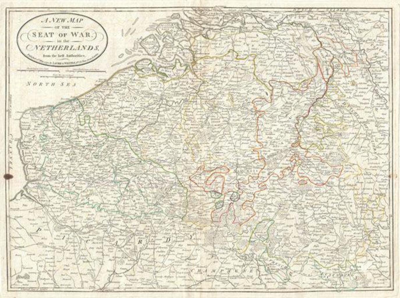
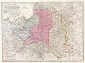
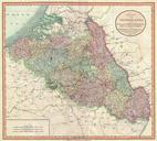
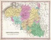
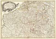
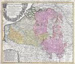
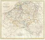
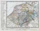
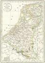
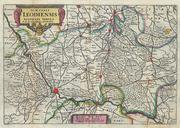
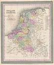
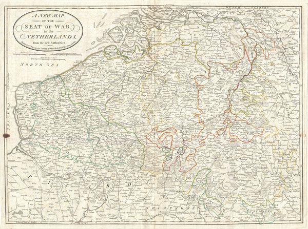
Laurie and Whittle Map of Belgium Geographicus Belgiumlauriewhittle. An very attractive map of what is today Belgium by Laurie and Whittle Covers from Zeeland southwards as far as the Picardy France and eastwards to Luxembourg Includes the modern day nation Belgium as well as adjacent parts of Germany Luxembourg and France Renders