
Related Images


Download:
| Tiny | 141x128 | View | Download |
| Small | 282x256 | View | Download |
| Medium | 565x512 | View | Download |
| Large | 1131x1024 | View | Download |
| Original | 5000x4523 | View | Download |
This image was acquired from
wikimedia. It was marked as Public Domain or CC0 and is free to use. To verify, go to the source and check the information there.
Looking for more info about this image?
Try a Google Reverse Image Search for it.
Try a Google Reverse Image Search for it.
Keywords from Image Description:
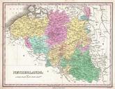
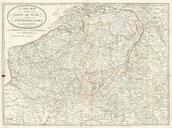
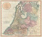
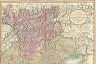
Cary Map of Belgium and Luxembourg Geographicus Belgiumcary. Despite being entitled the Netherlands this map is John Cary fine and attractive map of Belgium and Luxembourg Belgium as we know it today did not emerge as an independent state until the Belgian Revolution of Highly detailed with color coding according to region All