
Related Images

Download:
| Tiny | 151x128 | View | Download |
| Small | 303x256 | View | Download |
| Medium | 606x512 | View | Download |
| Large | 1213x1024 | View | Download |
| Original | 4000x3376 | View | Download |
This image was acquired from
wikimedia. It was marked as Public Domain or CC0 and is free to use. To verify, go to the source and check the information there.
Looking for more info about this image?
Try a Google Reverse Image Search for it.
Try a Google Reverse Image Search for it.
Keywords from Image Description:
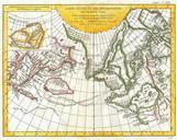
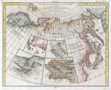
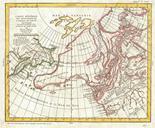
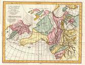
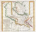
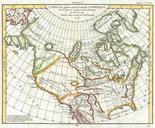
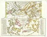
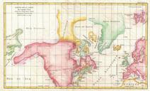
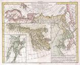
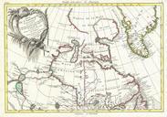
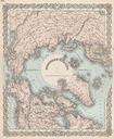
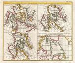
Vaugondy Diderot Map of the Hudson Bay and the Arctic Geographicus TerresArctiquesvaugondy. This is fascinating combination of four contrasting maps of the same area single sheet All four maps cover the northeastern part of America and Greenland including the Hudson Button and Baffin Bay regions the Davis Straits and the Coast