
Related Images
Download:
| Tiny | 206x128 | View | Download |
| Small | 412x256 | View | Download |
| Medium | 825x512 | View | Download |
| Large | 1650x1024 | View | Download |
| Original | 3500x2171 | View | Download |
This image was acquired from
wikimedia. It was marked as Public Domain or CC0 and is free to use. To verify, go to the source and check the information there.
Looking for more info about this image?
Try a Google Reverse Image Search for it.
Try a Google Reverse Image Search for it.
Keywords from Image Description:
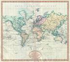
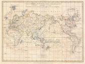
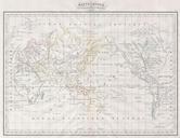
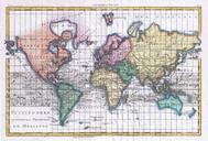
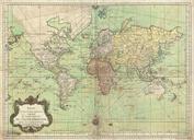
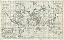
Vaugondy Map of the World on Mercator Projection Geographicus Worldvaugondy. This uncommon map of the world on Mercator projection by Robert de Vaugondy occupies the ephemeral period between Captain Cook second and third voyages Cooks explorations along the eastern coast of Australia as well as around New Caledonia and are in