Related Images


Download:
| Tiny | 219x128 | View | Download |
| Small | 438x256 | View | Download |
| Medium | 876x512 | View | Download |
| Large | 1753x1024 | View | Download |
| Original | 3500x2044 | View | Download |
This image was acquired from
wikimedia. It was marked as Public Domain or CC0 and is free to use. To verify, go to the source and check the information there.
Looking for more info about this image?
Try a Google Reverse Image Search for it.
Try a Google Reverse Image Search for it.
Keywords from Image Description:
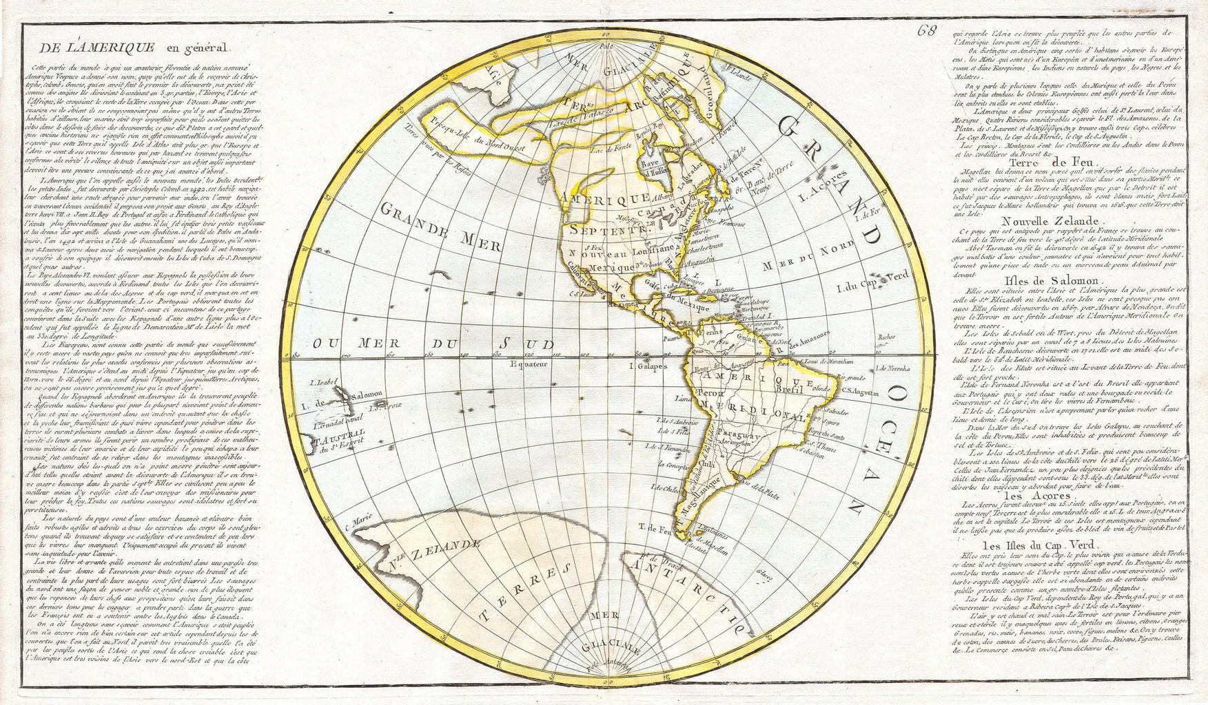
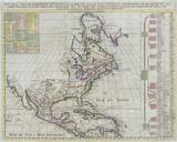
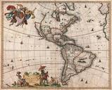
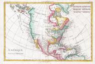
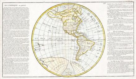
Clouet Map of North America and South America Geographicus Ameriqueclouet. Artwork of areas the cartographer Clouet considered important The continent Tierra del Fuego Terre de Feu New Zealand Solomon Islands The Azores Acores and the Cape Verde Islands Printed for inclusion in the edition of Clouet Geographie Moderne Size in


