Related Images

Download:
| Tiny | 189x128 | View | Download |
| Small | 378x256 | View | Download |
| Medium | 756x512 | View | Download |
| Large | 1513x1024 | View | Download |
| Original | 2500x1691 | View | Download |
This image was acquired from
wikimedia. It was marked as Public Domain or CC0 and is free to use. To verify, go to the source and check the information there.
Looking for more info about this image?
Try a Google Reverse Image Search for it.
Try a Google Reverse Image Search for it.
Keywords from Image Description:
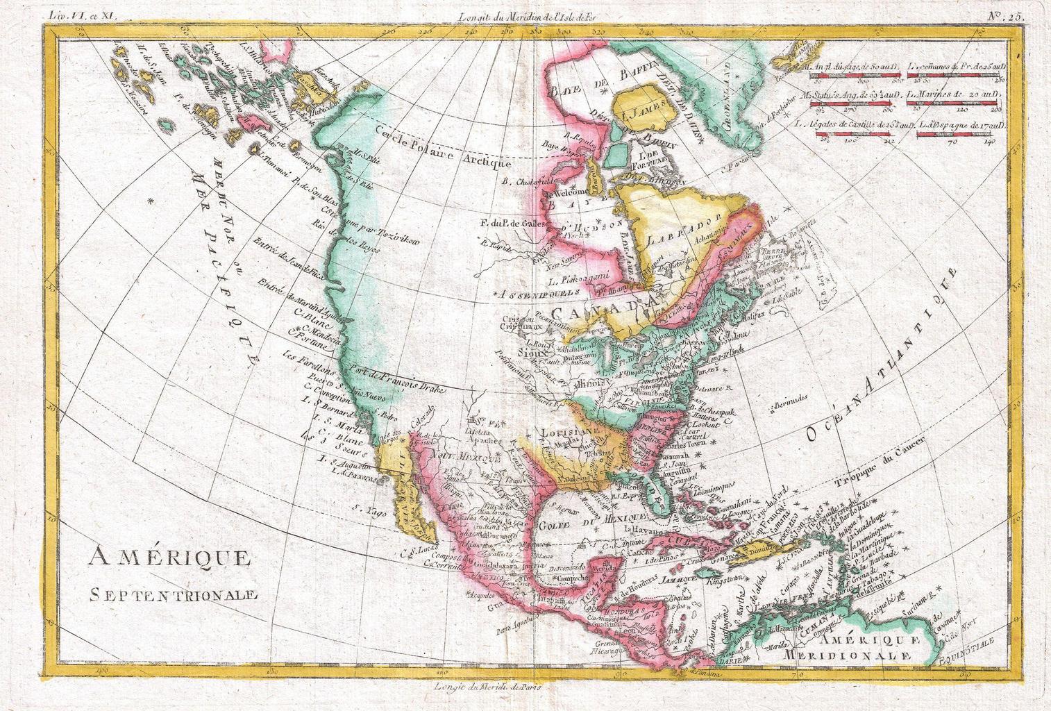
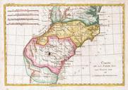
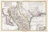
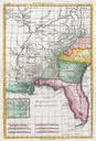
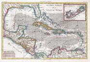
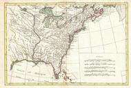
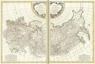
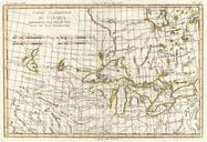
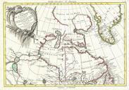
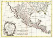
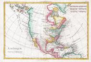
Raynal and Bonne Map of North America Geographicus Ameriquebonne. fine example of Rigobert Bonne and Guilleme Raynal map of North America Covers the entire continent from the high arctic to Central America the Caribbean and the Spanish Main Offers an early perspective on the region including the identification of Louisiana Virginia