
Related Images


Download:
| Tiny | 170x128 | View | Download |
| Small | 341x256 | View | Download |
| Medium | 682x512 | View | Download |
| Original | 800x600 | View | Download |
This image was acquired from
wikimedia. It was marked as Public Domain or CC0 and is free to use. To verify, go to the source and check the information there.
Looking for more info about this image?
Try a Google Reverse Image Search for it.
Try a Google Reverse Image Search for it.
Keywords from Image Description:
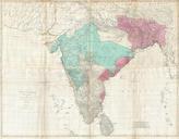
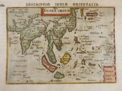
th century India Map from BERTIUS ATLAS MAPS. en India map published in th century Archived by Columbia University qualifies under PDArt columbia edu Bertius PDUS Uploaded with thcentury maps of India Old maps of the Indian Subcontinent