Related Images

This image was acquired from
wikimedia. It was marked as Public Domain or CC0 and is free to use. To verify, go to the source and check the information there.
Looking for more info about this image?
Try a Google Reverse Image Search for it.
Try a Google Reverse Image Search for it.
Keywords from Image Description:
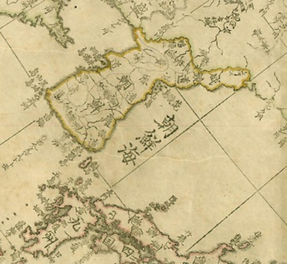
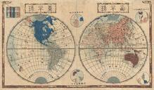
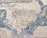
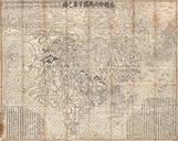
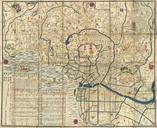
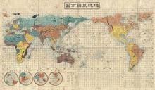
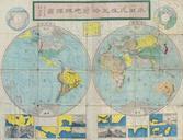
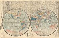
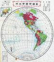
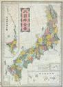
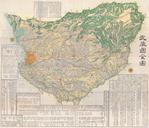
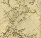
Japanese map. Japanese map The map centimeters in length and centimeters in width was drawn up in by Takahashi Kakeyasu an astronomer of the Edo Period The map was printed from copperplate in Early th century Japanese map that marked the seaway between Korea and Japan as Sea of Joseon Joseon was the old name of Korea from