Related Images


Download:
| Tiny | 153x128 | View | Download |
| Small | 306x256 | View | Download |
| Medium | 613x512 | View | Download |
| Large | 1227x1024 | View | Download |
| Original | 3300x2752 | View | Download |
This image was acquired from
wikimedia. It was marked as Public Domain or CC0 and is free to use. To verify, go to the source and check the information there.
Looking for more info about this image?
Try a Google Reverse Image Search for it.
Try a Google Reverse Image Search for it.
Keywords from Image Description:
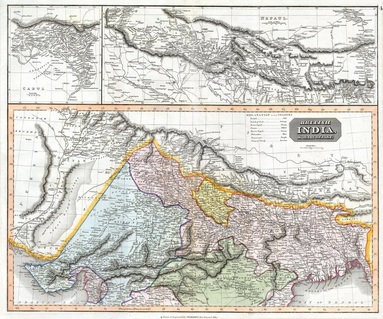
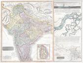
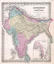
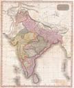
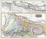
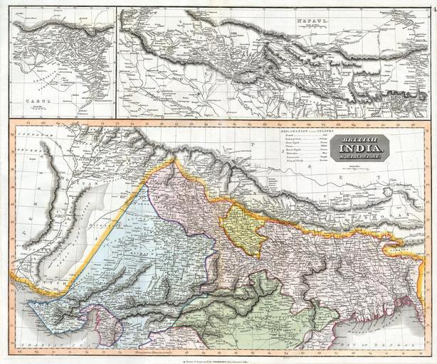
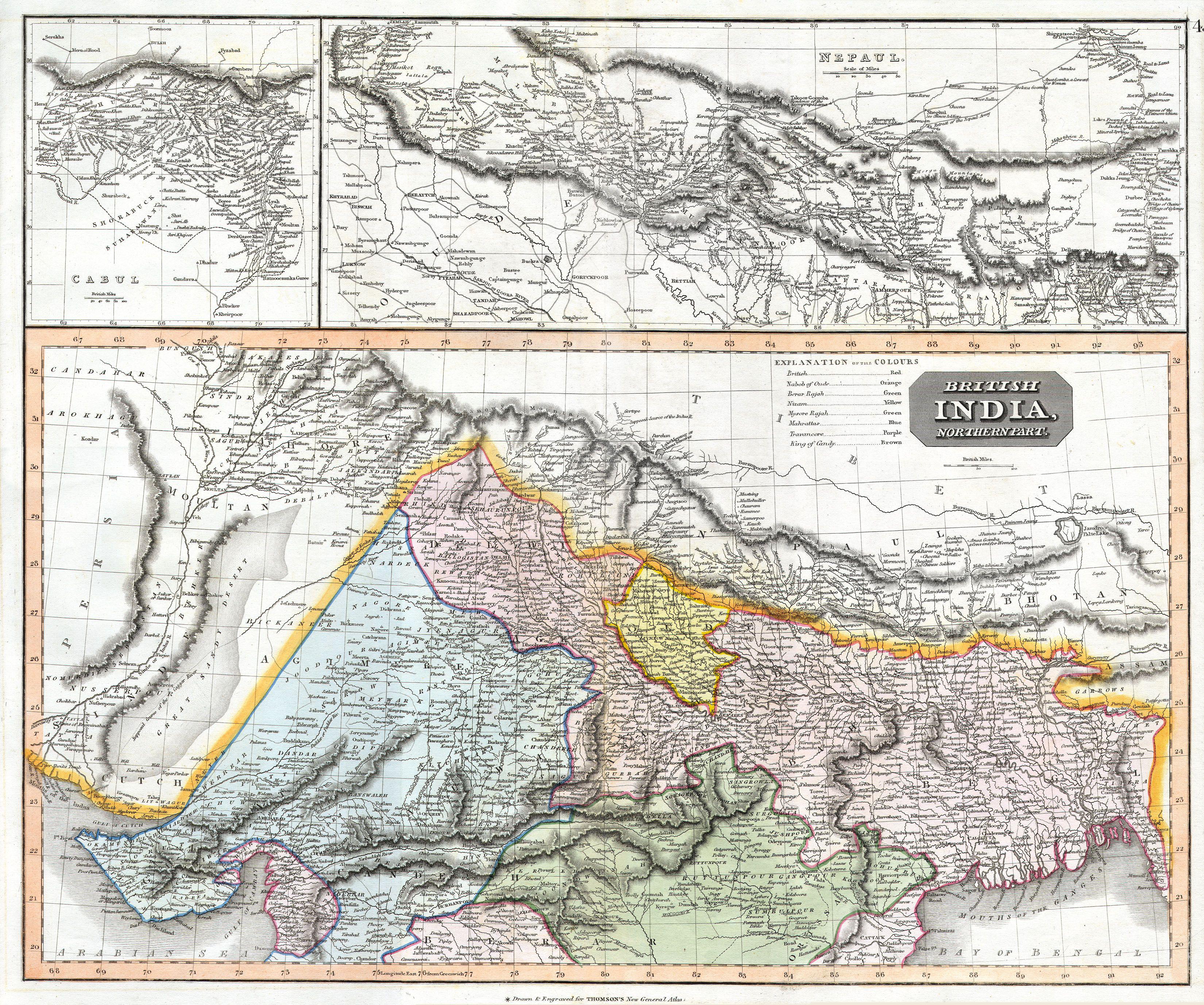
Thomson Map of Northern India and Nepal Geographicus IndiaNepalt. This fascinating hand colored map by Edinburgh cartographer John Thomson depicts northern India and Nepal Bounded on the east by Persia and the Indus valley on the North by Tibet on the south by Berar and on the east by Assam and Bhutan Much of the upper portion