
Related Images


Download:
| Tiny | 175x128 | View | Download |
| Small | 350x256 | View | Download |
| Medium | 700x512 | View | Download |
| Large | 1401x1024 | View | Download |
| Original | 5000x3653 | View | Download |
This image was acquired from
wikimedia. It was marked as Public Domain or CC0 and is free to use. To verify, go to the source and check the information there.
Looking for more info about this image?
Try a Google Reverse Image Search for it.
Try a Google Reverse Image Search for it.
Keywords from Image Description:
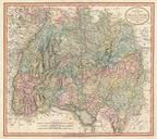
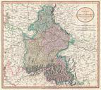
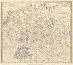
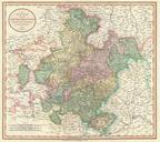
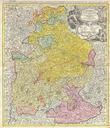
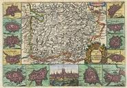
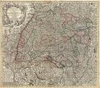
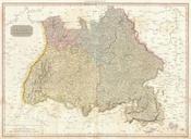
Pinkerton Map of Southwestern Germany Bavaria Swabia Geographicus GermanySouthpikerton. Pinkerton's extraordinary map of the southwestern part of Germany Covers from the from Frankfort south to Lake Constance and east to Bishop Includes the provinces of Swabia Bavaria and Franconia as well as parts of adjacent France Switzerland