Related Images


Download:
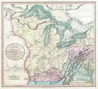
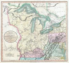
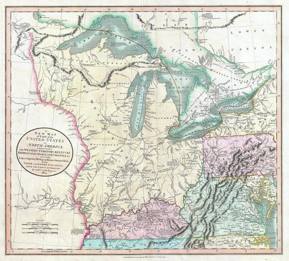
| Tiny | 141x128 | View | Download |
| Small | 283x256 | View | Download |
| Medium | 566x512 | View | Download |
| Large | 1133x1024 | View | Download |
| Original | 5000x4516 | View | Download |
This image was acquired from
wikimedia. It was marked as Public Domain or CC0 and is free to use. To verify, go to the source and check the information there.
Looking for more info about this image?
Try a Google Reverse Image Search for it.
Try a Google Reverse Image Search for it.
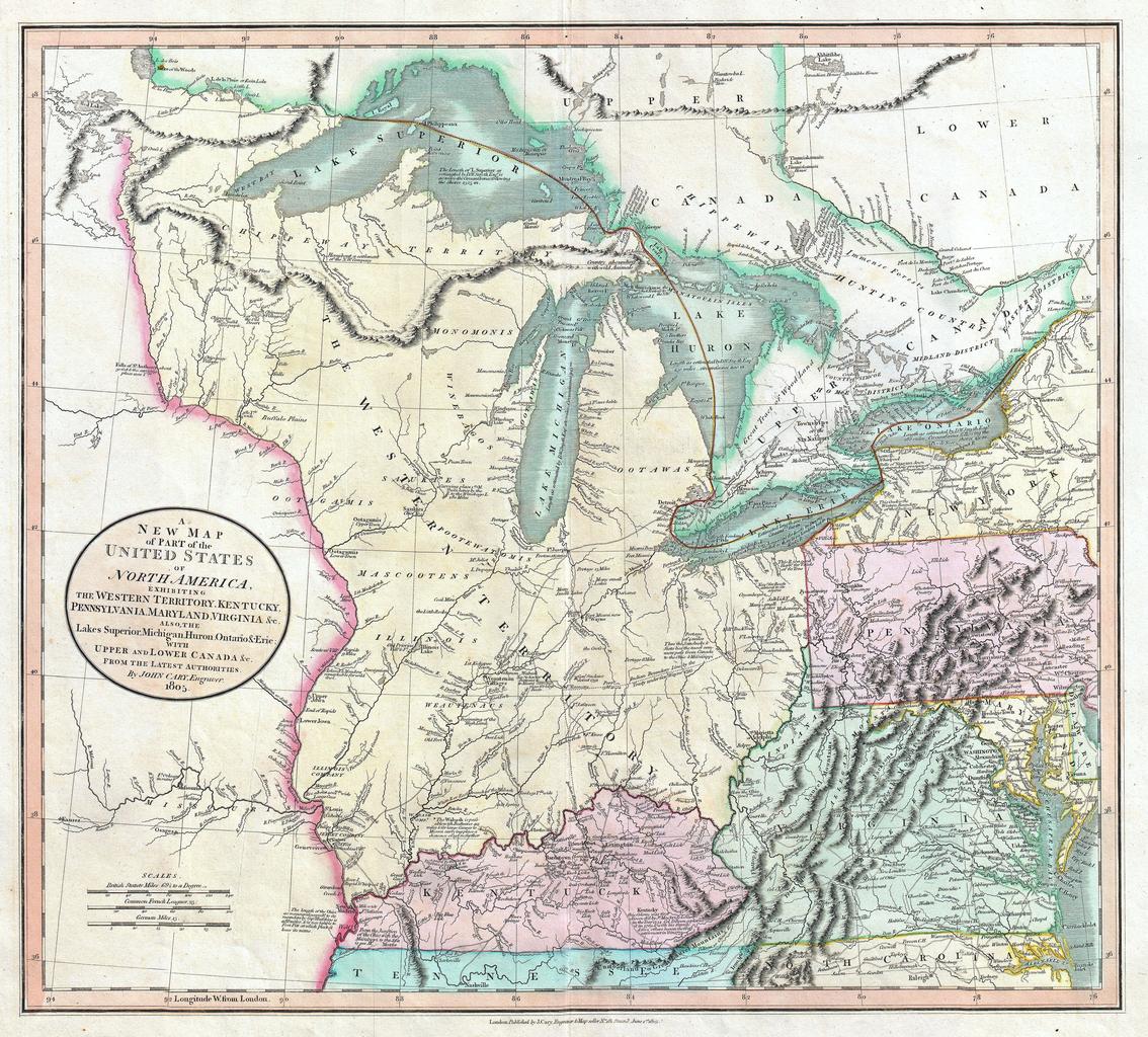
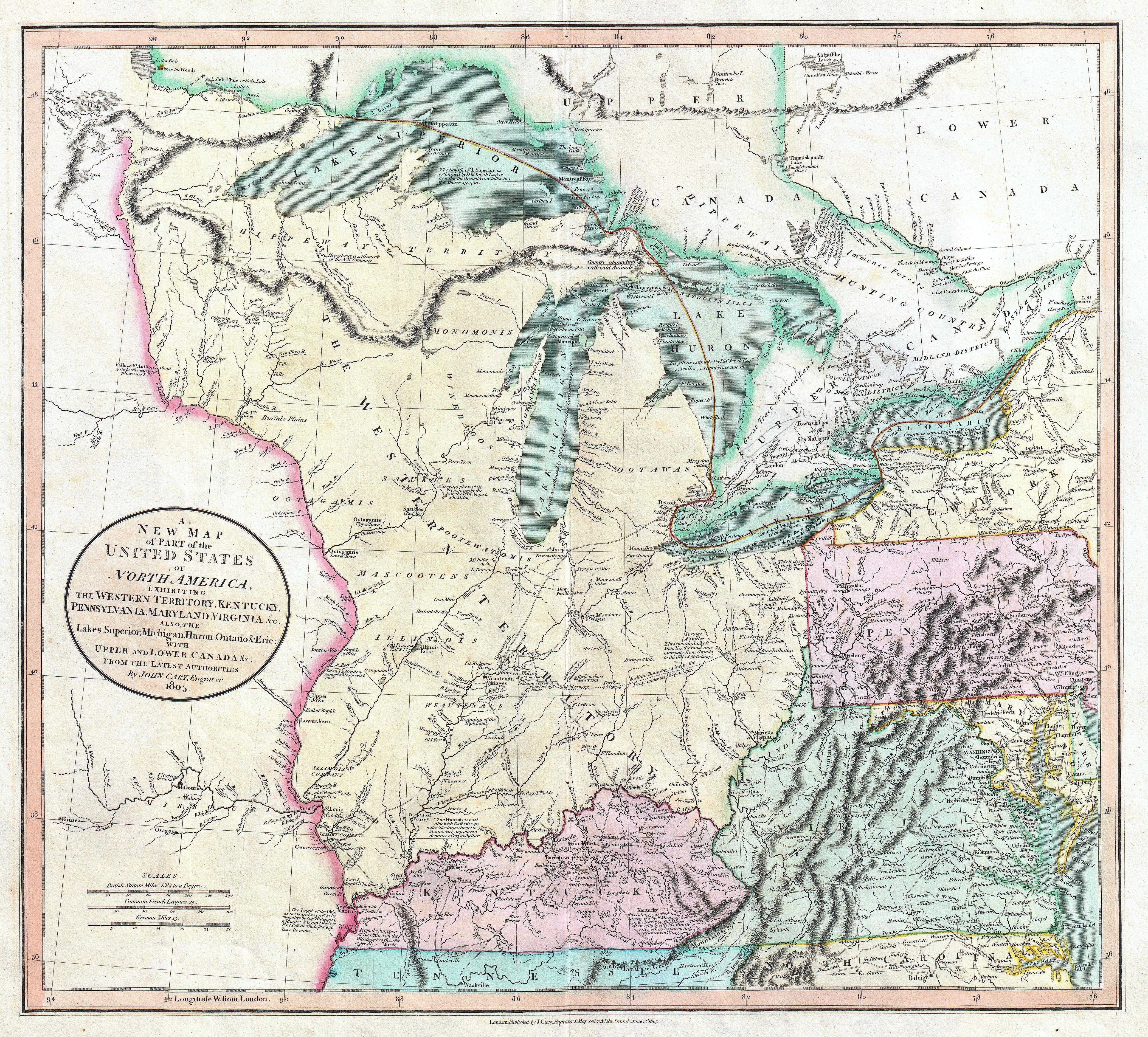
Keywords from Image Description:
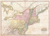
Cary Map of the Great Lakes and Western Territory Kentucy Virginia Ohio etc.. Geographicus WesternTerritorycary. Published by John Cary in this is one of the most interesting and attractive maps of the American Frontier and the Great Lakes to emerge in the first years of the th century Covers from Lakes Superior south along the