Related Images


Download:
| Tiny | 148x128 | View | Download |
| Small | 296x256 | View | Download |
| Medium | 592x512 | View | Download |
| Large | 1185x1024 | View | Download |
| Original | 1234x1066 | View | Download |
This image was acquired from
wikimedia. It was marked as Public Domain or CC0 and is free to use. To verify, go to the source and check the information there.
Looking for more info about this image?
Try a Google Reverse Image Search for it.
Try a Google Reverse Image Search for it.
Keywords from Image Description:
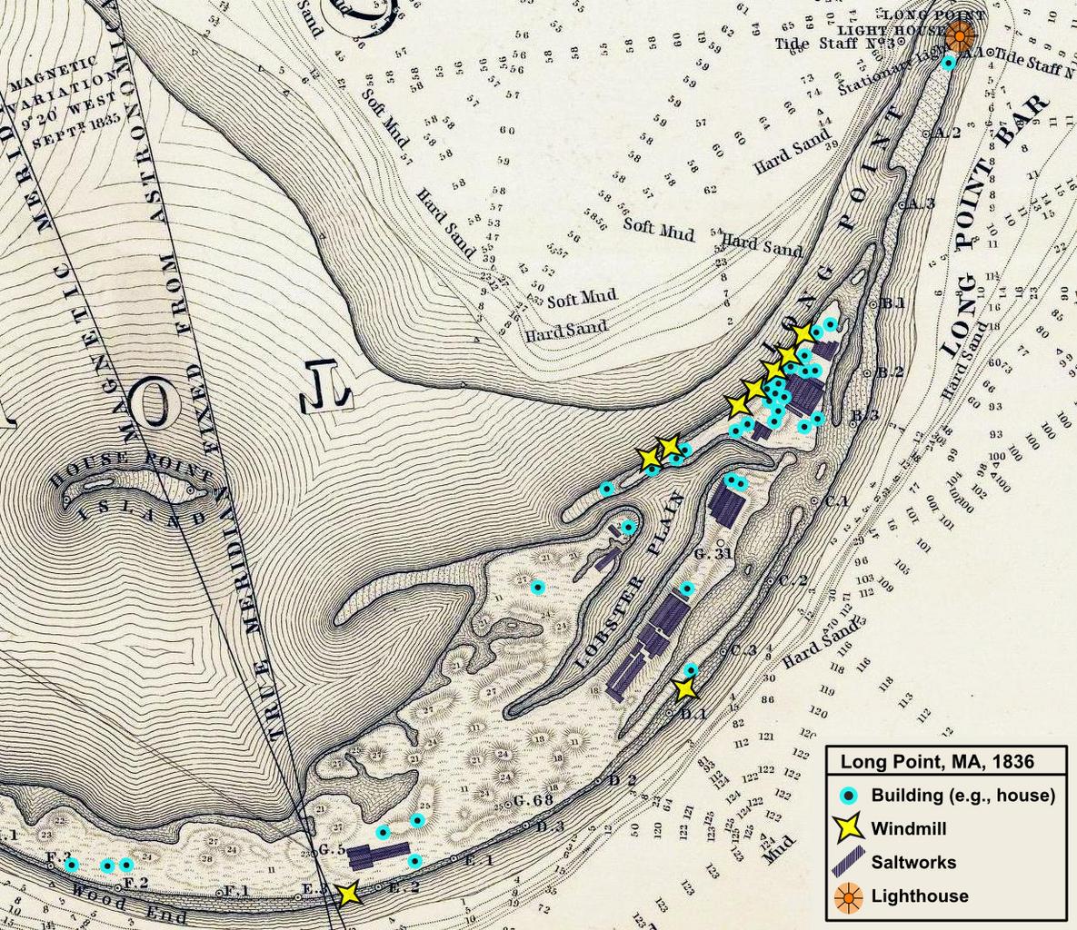
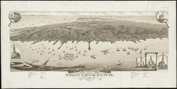
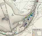
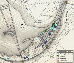
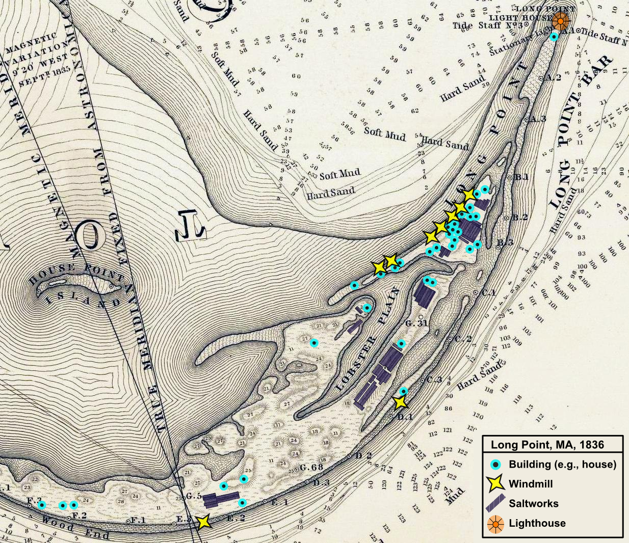
Provincetown Long Point US Topo Bureau. Village of Long Point Provincetown Extracted from Map Of The Extremity Of Cape Cod Including the Townships of Provincetown Truro Chart Of Their Sea Coast And Of Cape Cod Harbour State of Massachusetts Excerpt focused to Long Point Provincetown Shows windmills buildings and several saltworks