
Related Images


Download:
| Tiny | 158x128 | View | Download |
| Small | 316x256 | View | Download |
| Medium | 633x512 | View | Download |
| Large | 1267x1024 | View | Download |
| Original | 3000x2423 | View | Download |
This image was acquired from
wikimedia. It was marked as Public Domain or CC0 and is free to use. To verify, go to the source and check the information there.
Looking for more info about this image?
Try a Google Reverse Image Search for it.
Try a Google Reverse Image Search for it.
Keywords from Image Description:
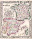
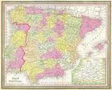
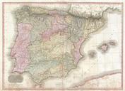
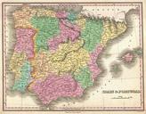
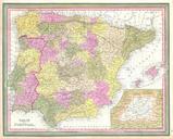
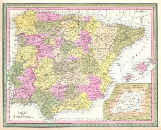
Mitchell Map of Spain and Portugal Geographicus SpainPortugalmitchell. This hand colored map is copper plate engraving dating to by the legendary American mapmaker Mitchell the elder It represents Spain and Portugal Includes the Balearic Islands of Ibiza Majorca and Minorca Lower right quadrant features inset map of environs