
Related Images


Download:
| Tiny | 105x128 | View | Download |
| Small | 210x256 | View | Download |
| Medium | 420x512 | View | Download |
| Large | 841x1024 | View | Download |
| Original | 3287x4000 | View | Download |
This image was acquired from
wikimedia. It was marked as Public Domain or CC0 and is free to use. To verify, go to the source and check the information there.
Looking for more info about this image?
Try a Google Reverse Image Search for it.
Try a Google Reverse Image Search for it.
Keywords from Image Description:
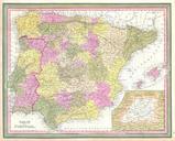
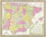
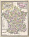
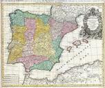
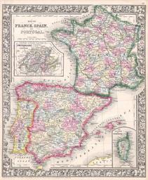
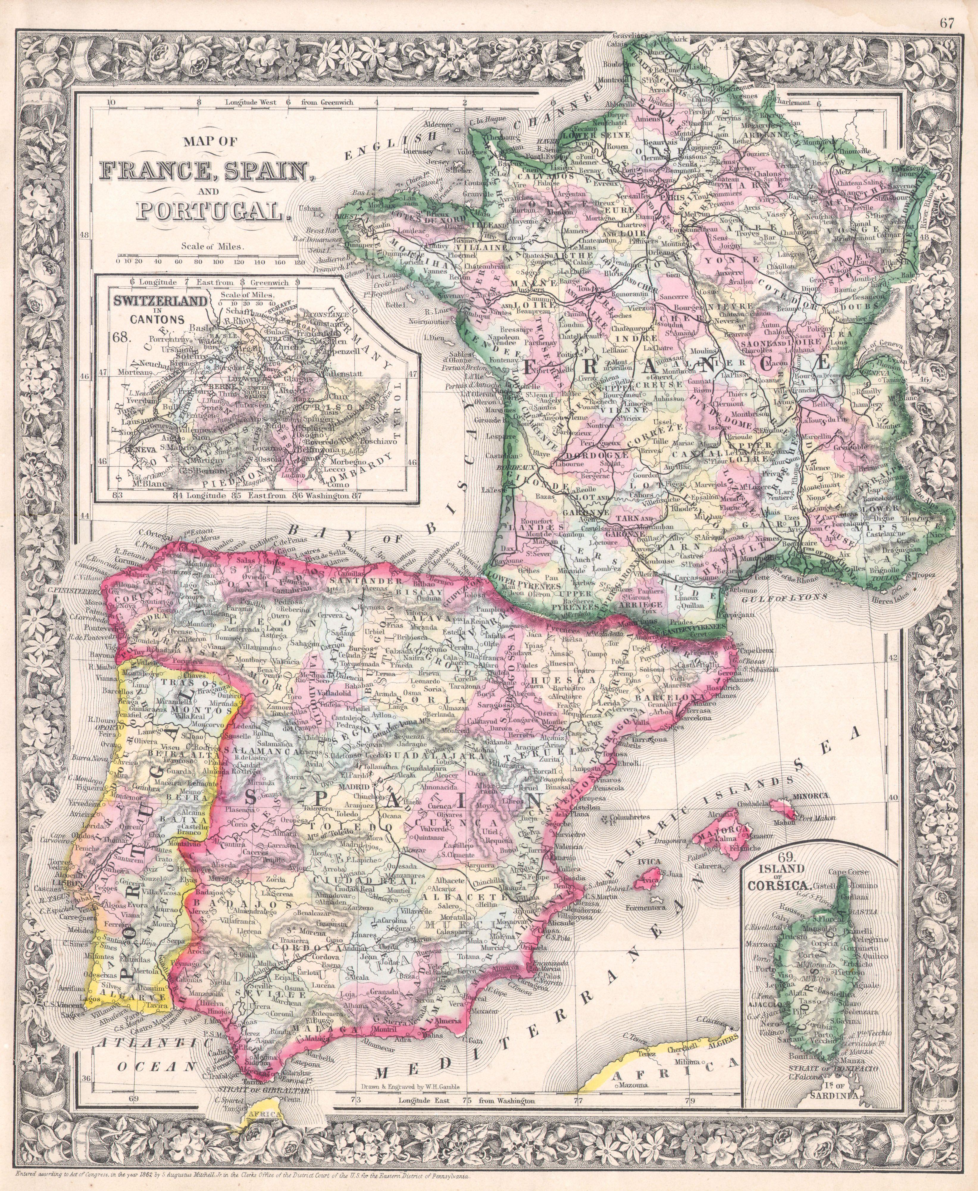
Mitchell Map of France Spain and Portugal Geographicus SpainFrancemitchell. beautiful example of Mitchell Jr map of France Spain and Portugal An inset in the upper left quadrant depicts Switzerland Another inset in the lower right quadrant depicts the Island of Corsica Denotes both political and geographical details Updated and