
Related Images


Download:
| Tiny | 149x128 | View | Download |
| Small | 299x256 | View | Download |
| Medium | 598x512 | View | Download |
| Large | 1197x1024 | View | Download |
| Original | 3000x2566 | View | Download |
This image was acquired from
wikimedia. It was marked as Public Domain or CC0 and is free to use. To verify, go to the source and check the information there.
Looking for more info about this image?
Try a Google Reverse Image Search for it.
Try a Google Reverse Image Search for it.
Keywords from Image Description:
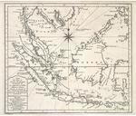
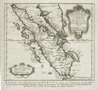
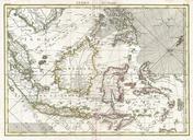
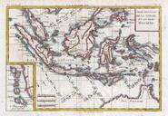
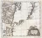
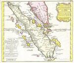
Bellin Map of Sumatra Malaca and Singapore Geographicus Sumatrabellin. This is beautiful map of the island of Sumatra and the southern tip of the Malaysian Peninsula was produced by the French Cartographer JacquesNicolas Bellin in Depicts the entirety of Sumatra as well as much of modern day Malaysia Includes the Straights of