
Related Images


Download:
| Tiny | 103x128 | View | Download |
| Small | 206x256 | View | Download |
| Medium | 413x512 | View | Download |
| Large | 827x1024 | View | Download |
| Original | 2829x3500 | View | Download |
This image was acquired from
wikimedia. It was marked as Public Domain or CC0 and is free to use. To verify, go to the source and check the information there.
Looking for more info about this image?
Try a Google Reverse Image Search for it.
Try a Google Reverse Image Search for it.
Keywords from Image Description:
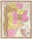
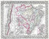
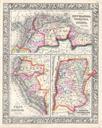
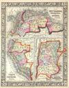
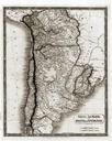
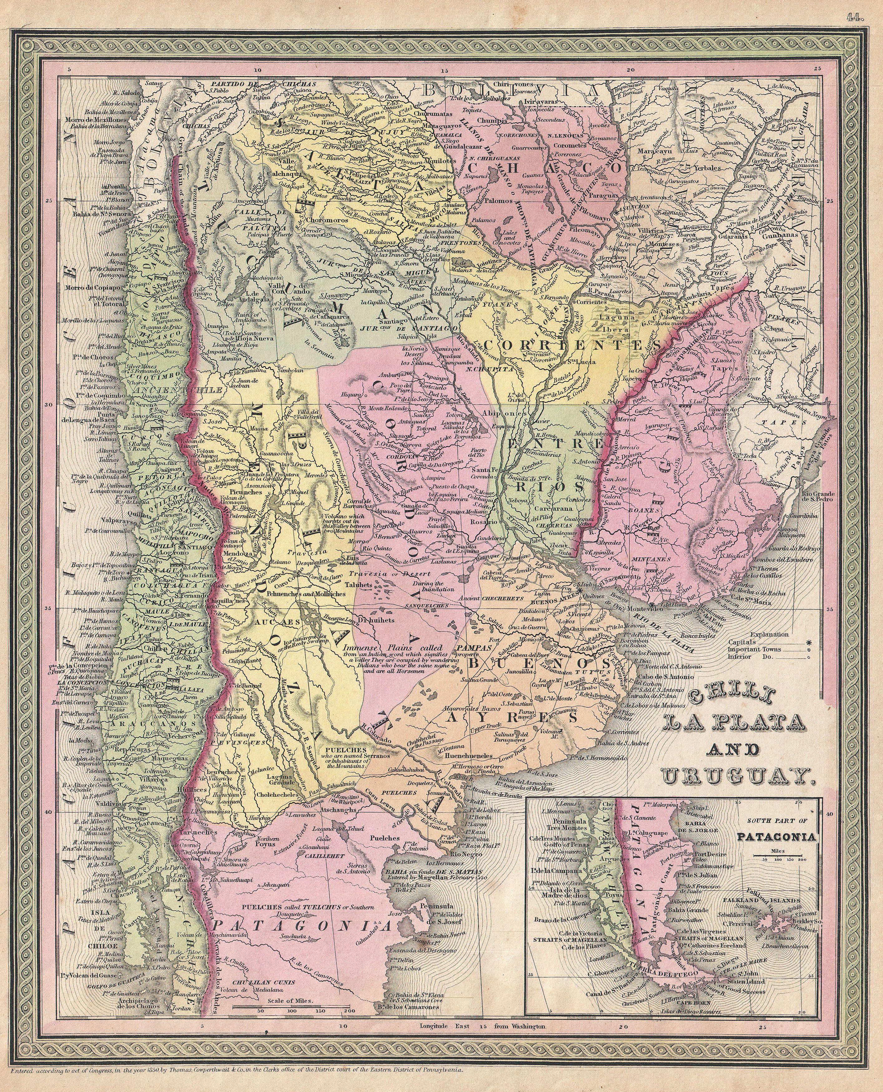
Mitchell Map of Argentina La Plata Uruguay and Chili Geographicus LaPlatamitchell. An extremely attractive example of Mitchell Sr map of Chili La Plata and Uruguay Covers the south part of South America from Bolivia and Paraguay south to Tierra del Fuego Includes the modern day nations of Chili Argentina and Uruguay with parts