Related Images


Download:
| Tiny | 102x128 | View | Download |
| Small | 204x256 | View | Download |
| Medium | 408x512 | View | Download |
| Large | 817x1024 | View | Download |
| Original | 3195x4000 | View | Download |
This image was acquired from
wikimedia. It was marked as Public Domain or CC0 and is free to use. To verify, go to the source and check the information there.
Looking for more info about this image?
Try a Google Reverse Image Search for it.
Try a Google Reverse Image Search for it.
Keywords from Image Description:
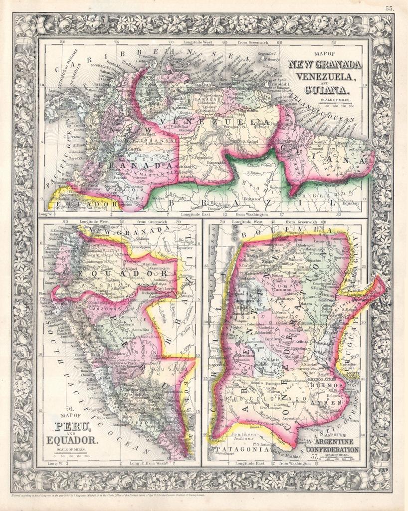
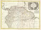
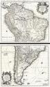
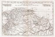
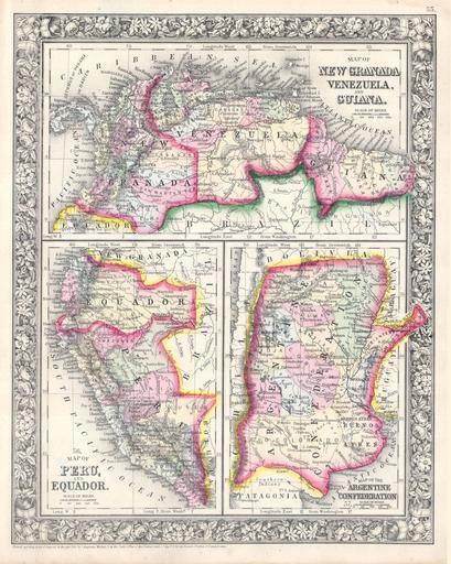
Mitchell Map of Peru Equador Ecuador Argentina Columbia and Venezuela Geographicus SouthAmericaNorthmitchell. beautiful example of Mitchell Jr three map sheet depicting parts of South America The first map shows New Granada Columbia Venezuela and Guiana The second map in the lower left quadrant depicts Peru and Equador Ecuador