Related Images


Download:
| Tiny | 99x128 | View | Download |
| Small | 198x256 | View | Download |
| Medium | 396x512 | View | Download |
| Large | 792x1024 | View | Download |
| Original | 3500x4523 | View | Download |
This image was acquired from
wikimedia. It was marked as Public Domain or CC0 and is free to use. To verify, go to the source and check the information there.
Looking for more info about this image?
Try a Google Reverse Image Search for it.
Try a Google Reverse Image Search for it.
Keywords from Image Description:
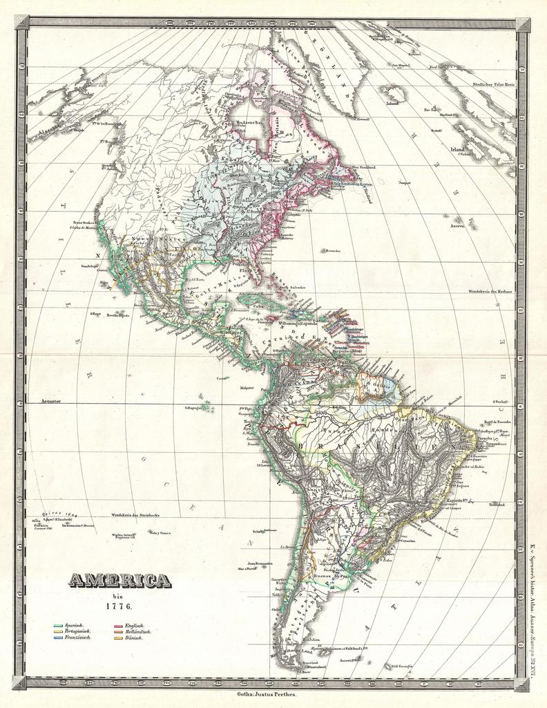
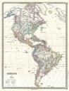
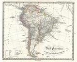
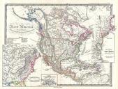
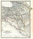
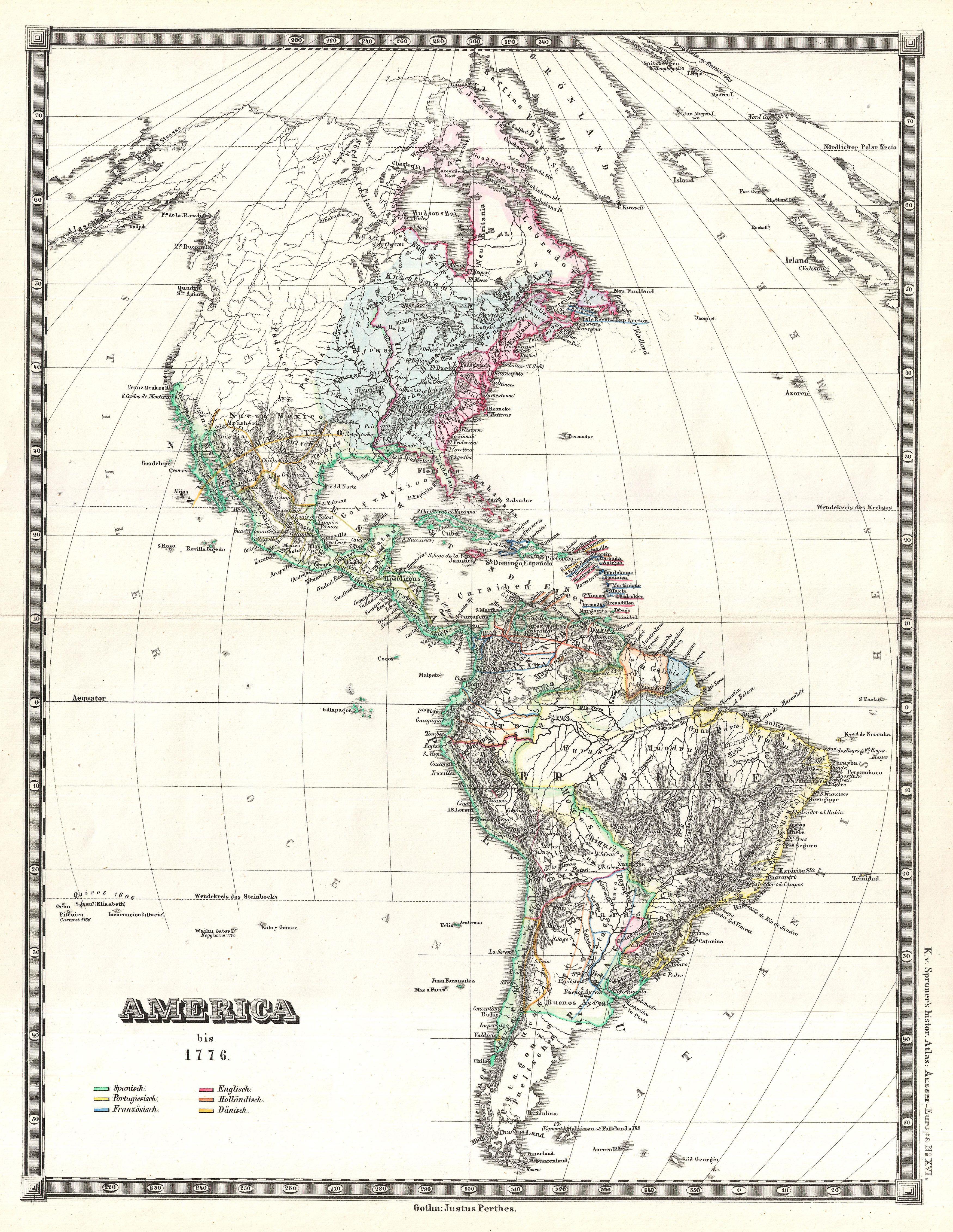
Spruner Map of the Americas up to Geographicus AmericaBisspruner. This is Karl von Spruner map of North and South America up to including Greenland to the North Tierra Del Fuego and Falkland Islands to the south and the British Isles and Scandinavia in the upper right quadrant The map shows locations of indigenous groups and