Related Images


Download:
| Tiny | 154x128 | View | Download |
| Small | 309x256 | View | Download |
| Medium | 618x512 | View | Download |
| Large | 1237x1024 | View | Download |
| Original | 3500x2897 | View | Download |
This image was acquired from
wikimedia. It was marked as Public Domain or CC0 and is free to use. To verify, go to the source and check the information there.
Looking for more info about this image?
Try a Google Reverse Image Search for it.
Try a Google Reverse Image Search for it.
Keywords from Image Description:
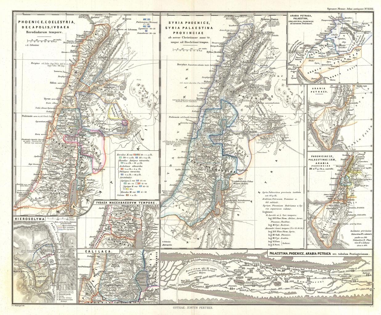
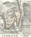
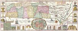
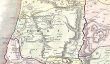
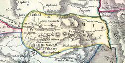
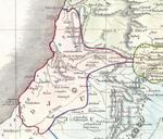
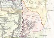
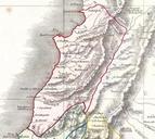
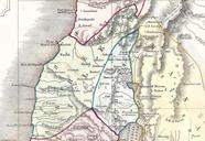
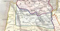
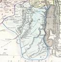
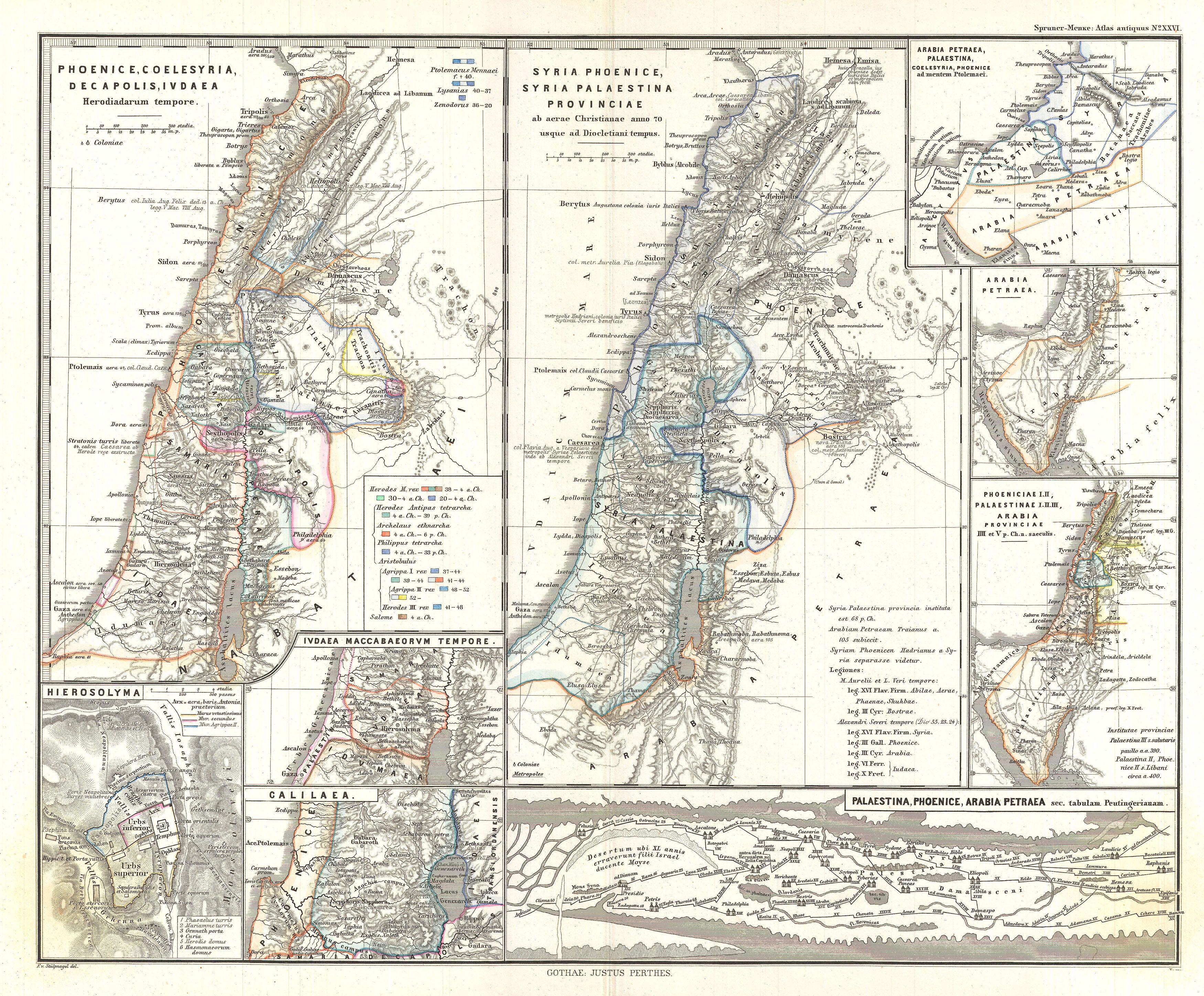
Spruner Map of the Holy Land Israel or Palestine in Antiquity Geographicus Phoenicespruner. This is Karl von Spruner map of the Holy Land or Israel and Palestine Essentially nine maps in one Spruner features two dominant maps and smaller insets including Peutinger Table in the lowerright quadrant The Peutinger Map is an astoundingly