
Related Images


Download:
| Tiny | 194x128 | View | Download |
| Small | 389x256 | View | Download |
| Medium | 779x512 | View | Download |
| Large | 1558x1024 | View | Download |
| Original | 5000x3286 | View | Download |
This image was acquired from
wikimedia. It was marked as Public Domain or CC0 and is free to use. To verify, go to the source and check the information there.
Looking for more info about this image?
Try a Google Reverse Image Search for it.
Try a Google Reverse Image Search for it.
Keywords from Image Description:
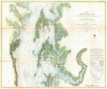
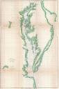
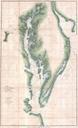
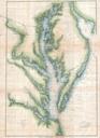
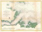
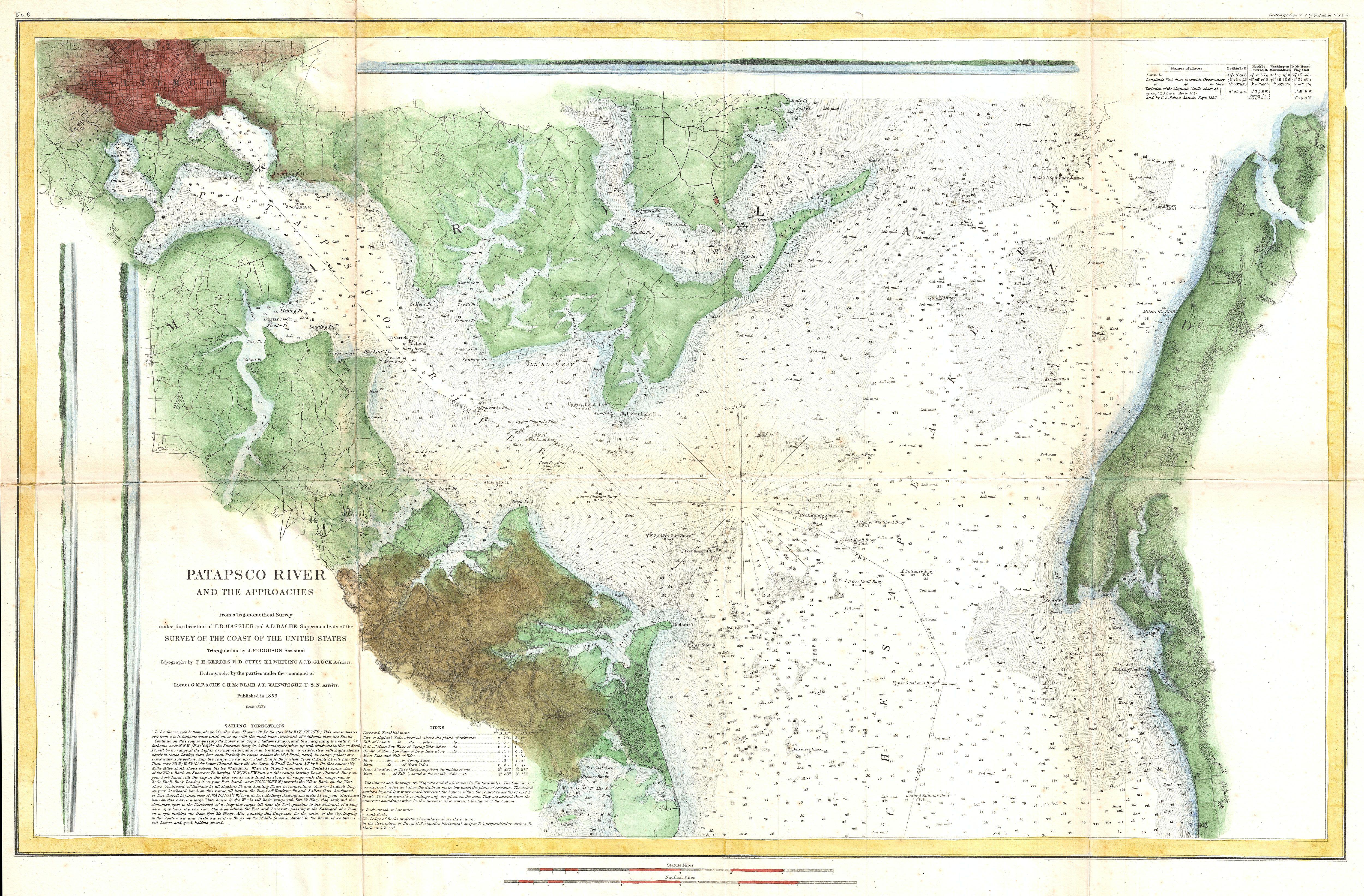
U.S. Coast Survey Map or Chart of the Patapsco River Chesapeake Bay and Baltimore Geographicus PatapscoRiveruscs. This is an uncommon Coast Survey Chart or Map of Patapsco River the Chesapeake Bay and approaches to Baltimore Maryland Covers from Baltimore in the northwest eastward as far as Fairlee Creek and southward as far