
Related Images


Download:
| Tiny | 94x128 | View | Download |
| Small | 188x256 | View | Download |
| Medium | 377x512 | View | Download |
| Large | 755x1024 | View | Download |
| Original | 4428x6000 | View | Download |
This image was acquired from
wikimedia. It was marked as Public Domain or CC0 and is free to use. To verify, go to the source and check the information there.
Looking for more info about this image?
Try a Google Reverse Image Search for it.
Try a Google Reverse Image Search for it.
Keywords from Image Description:
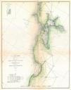
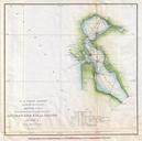
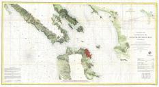
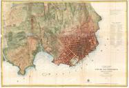
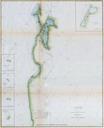
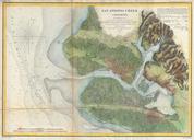
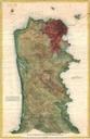
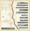
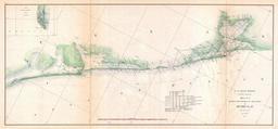
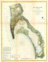
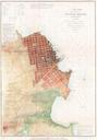
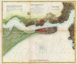
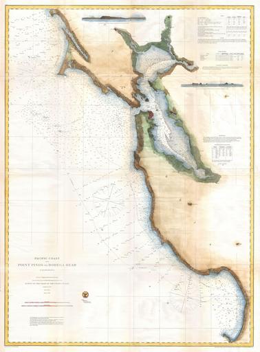
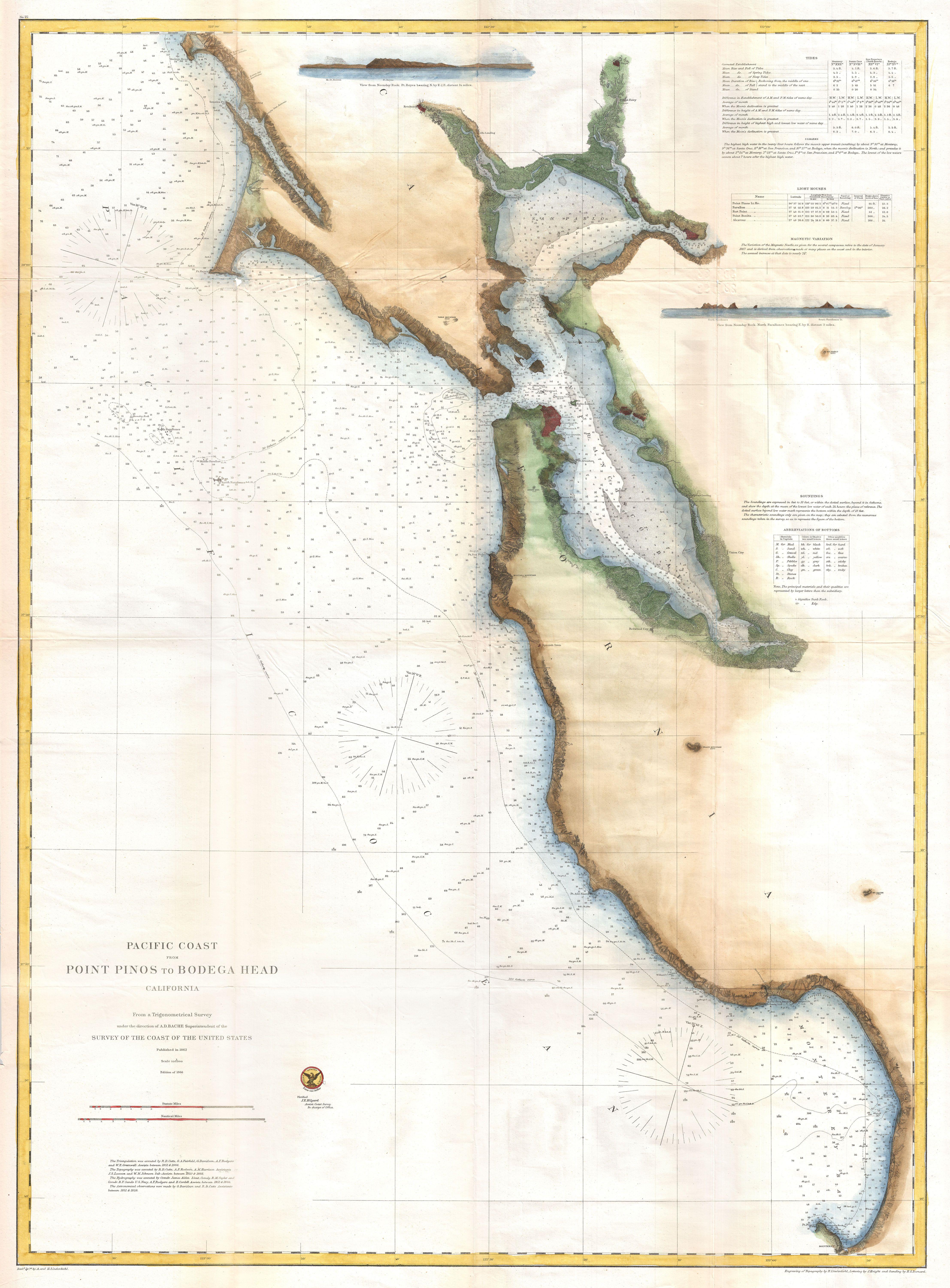
U.S. Coast Survey Chart or Map of San Francisco Bay Geographicus SanFranciscoBayuscs. An extraordinary Coast Survey nautical chart or map of the San Francisco Bay Covers from Point Pinot north was far as Bodega Head Includes all of the San Francisco Bay with river systems documented as far north as Napa and Petaluma This is one