
Related Images


Download:
| Tiny | 102x128 | View | Download |
| Small | 204x256 | View | Download |
| Medium | 409x512 | View | Download |
| Large | 818x1024 | View | Download |
| Original | 4000x5002 | View | Download |
This image was acquired from
wikimedia. It was marked as Public Domain or CC0 and is free to use. To verify, go to the source and check the information there.
Looking for more info about this image?
Try a Google Reverse Image Search for it.
Try a Google Reverse Image Search for it.
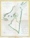
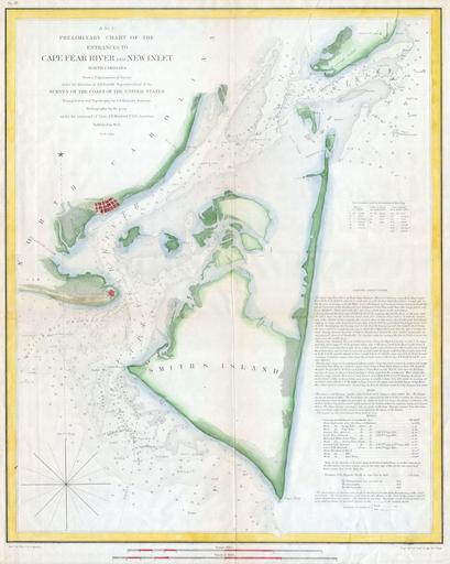
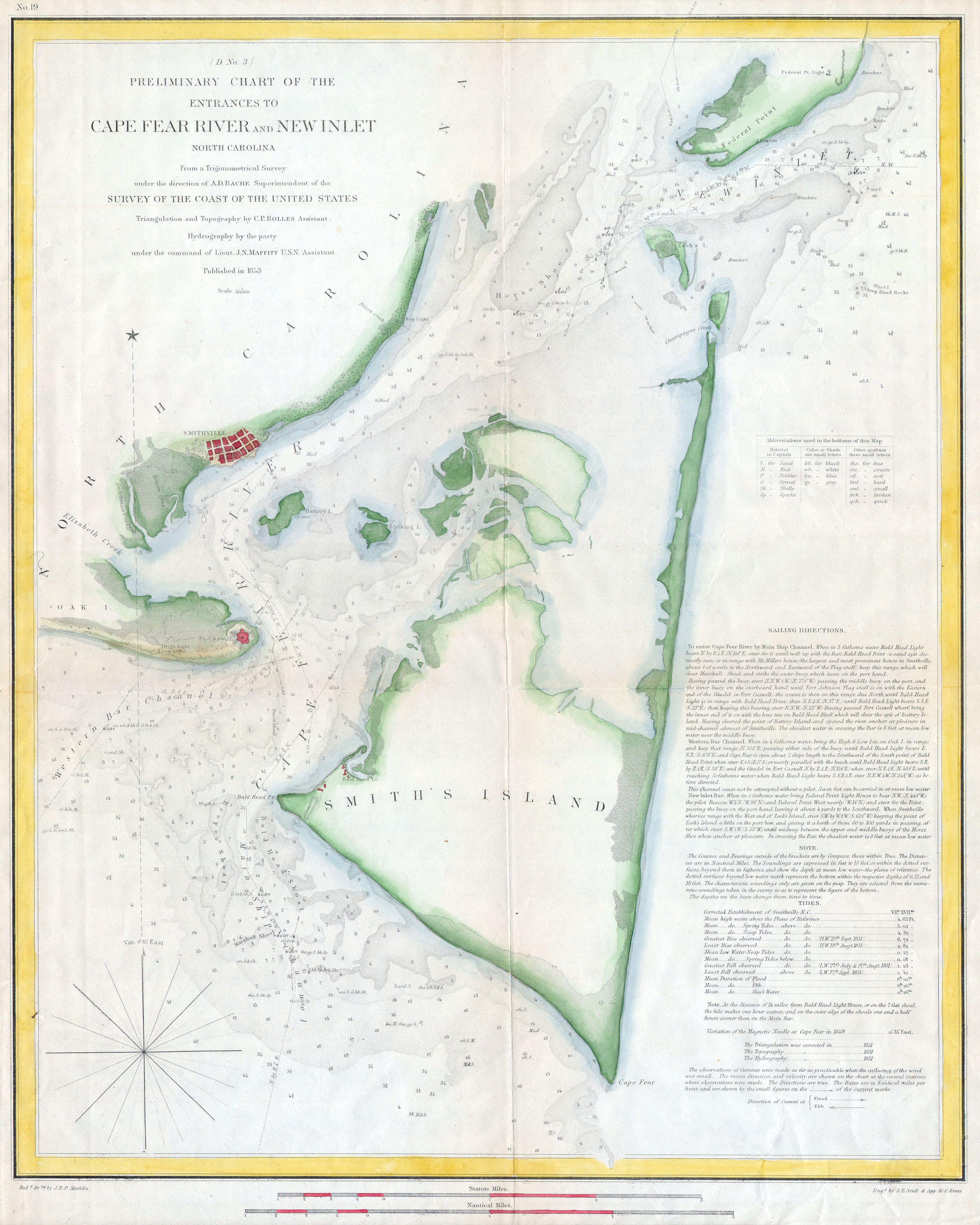
Keywords from Image Description:
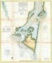
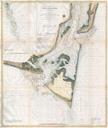
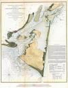
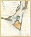
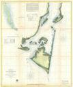
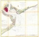
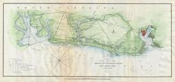
U.S.C.S. Map of Cape Fear North Carolina Geographicus CapeFearRiveruscs. rare hand colored costal chart of coast of North Carolina near Smith Island and Cape Fear Details the entrance to the Cape Fear River and New Inlet Includes detailed sailing instructions references to light houses depth soundings and notes on Fort Caswell