Related Images


Download:
| Tiny | 105x128 | View | Download |
| Small | 211x256 | View | Download |
| Medium | 423x512 | View | Download |
| Large | 847x1024 | View | Download |
| Original | 5000x6038 | View | Download |
This image was acquired from
wikimedia. It was marked as Public Domain or CC0 and is free to use. To verify, go to the source and check the information there.
Looking for more info about this image?
Try a Google Reverse Image Search for it.
Try a Google Reverse Image Search for it.
Keywords from Image Description:
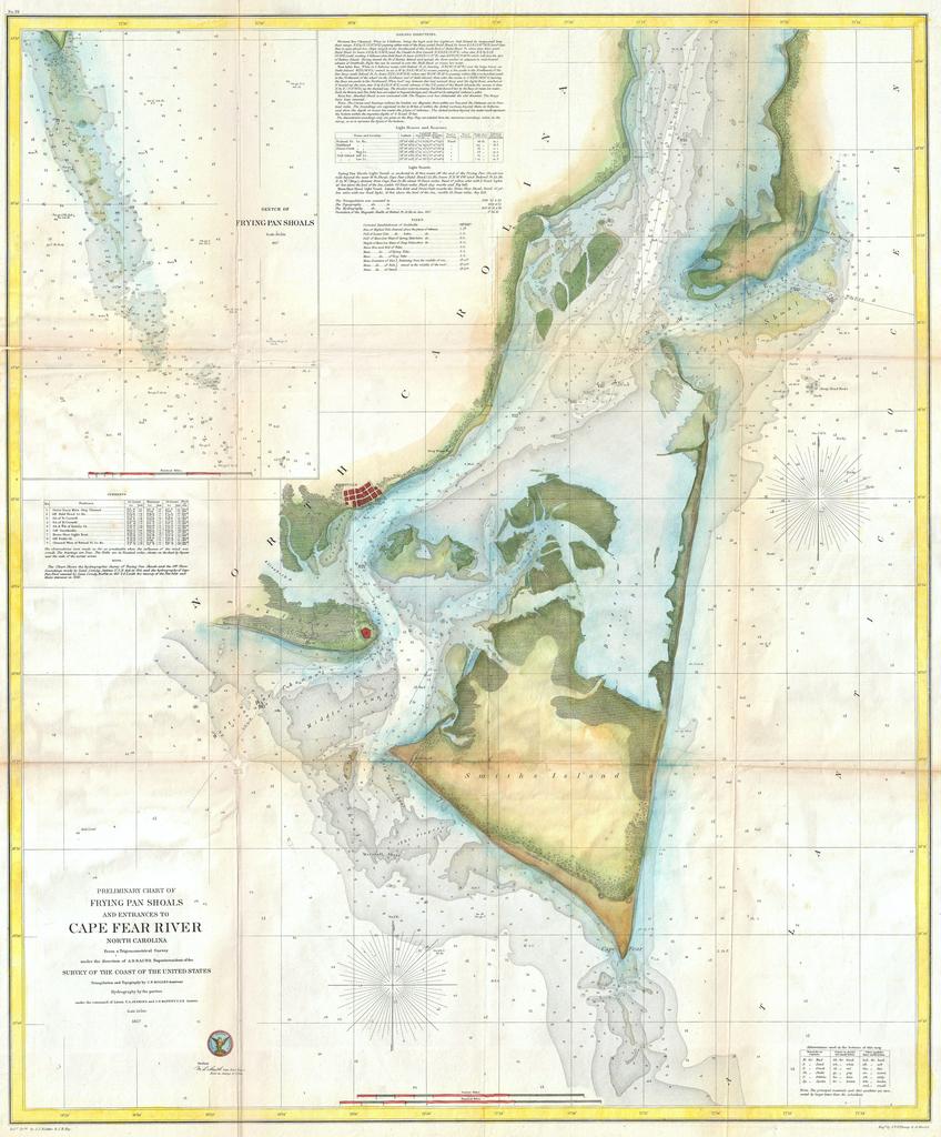
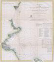
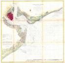
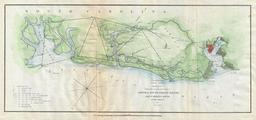
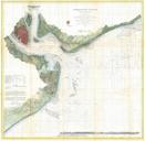
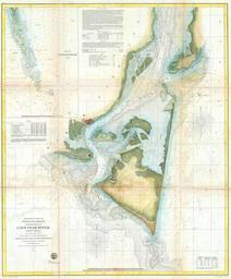
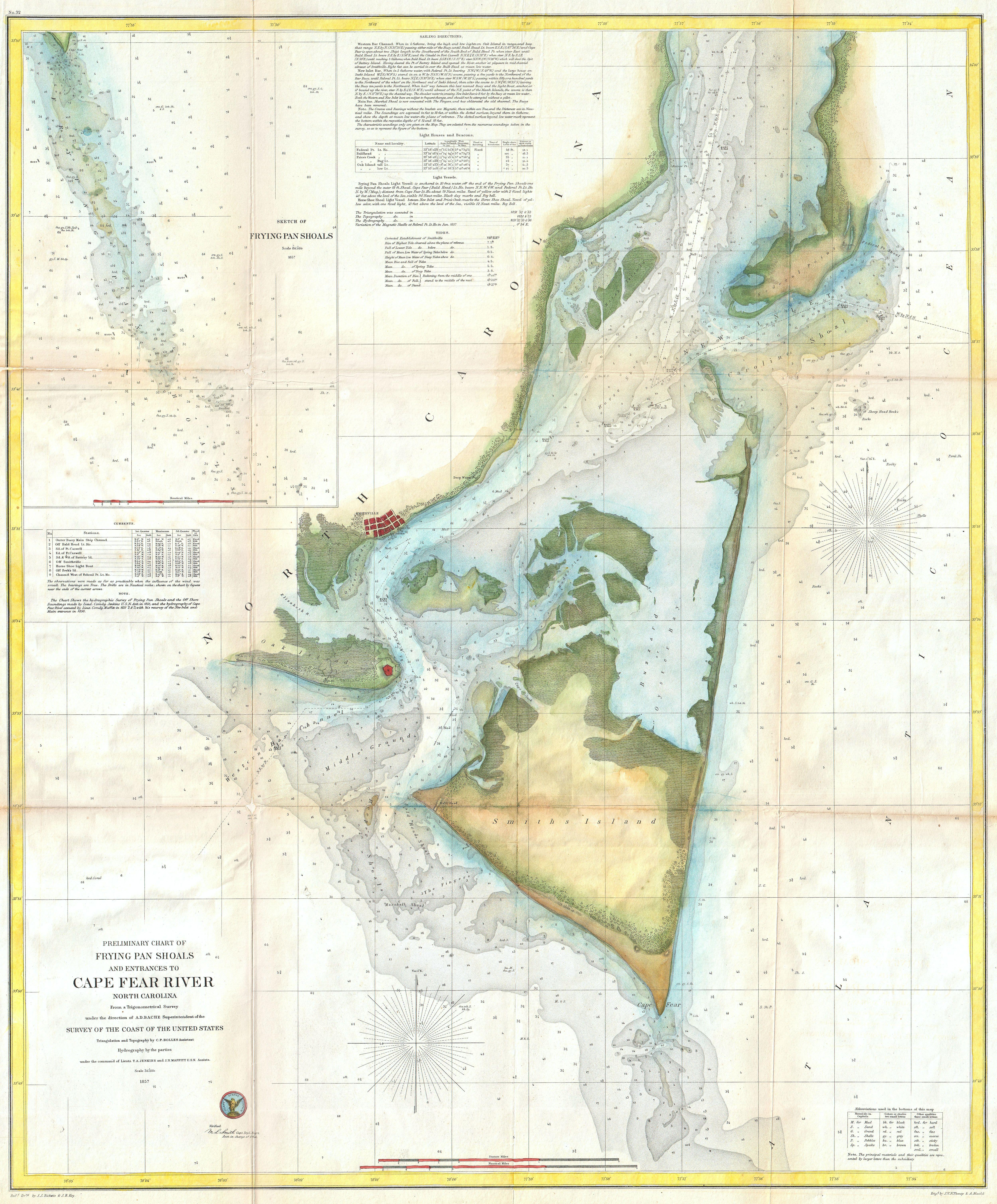
U.S.C.S. Map of Cape Fear North Carolina Geographicus CapeFearRiveruscs. One of the largest and most striking Maps of North Carolina Cape Fear Extends from Federal Point south to the top of Cape Fear and then west past Smithville and Fort Caswell to Oak Island roughly Longitude Upper right quadrant features detailed inset of