Related Images


Download:
| Tiny | 104x128 | View | Download |
| Small | 208x256 | View | Download |
| Medium | 416x512 | View | Download |
| Large | 832x1024 | View | Download |
| Original | 2439x3000 | View | Download |
This image was acquired from
wikimedia. It was marked as Public Domain or CC0 and is free to use. To verify, go to the source and check the information there.
Looking for more info about this image?
Try a Google Reverse Image Search for it.
Try a Google Reverse Image Search for it.
Keywords from Image Description:
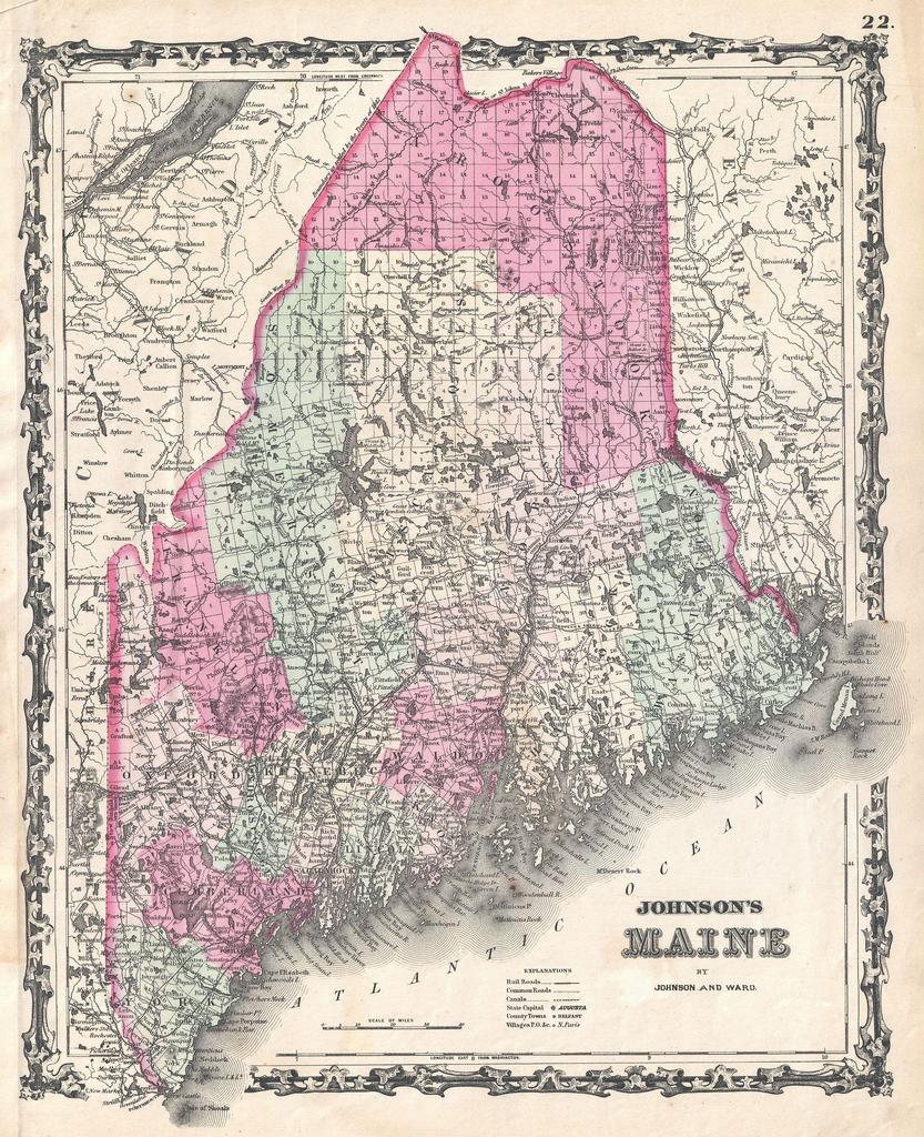
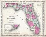
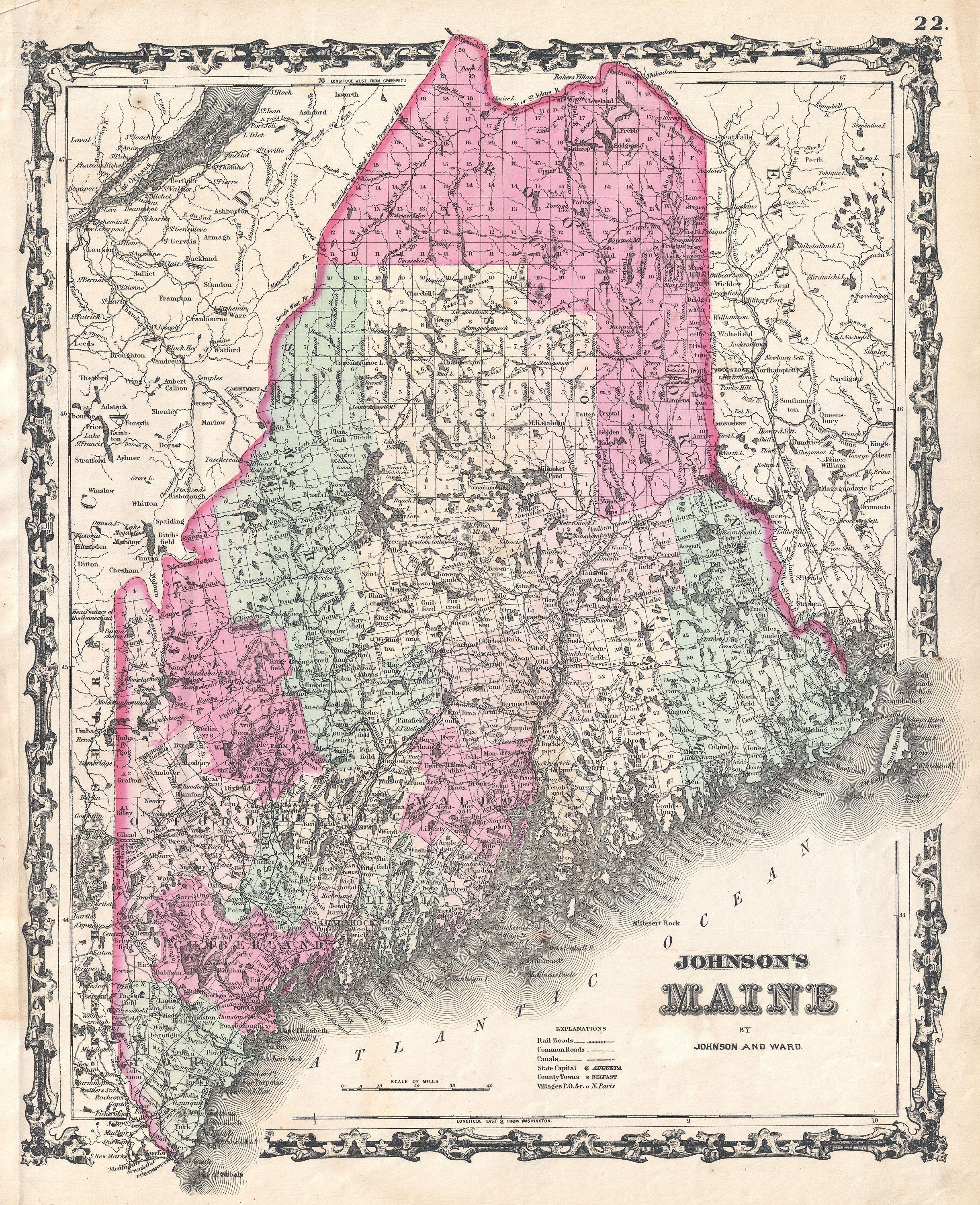
Johnson Map of Maine Geographicus MEjohnson. beautiful example of Johnson map of Maine Covers the entire state along with portions of adjacent Canada and New Hampshire Offers color coding according to county and notations for railways roadways cities towns and river systems Features the strapwork style border common to Johnson